Ok folks, this is a bit of a departure from my normal walking reports as in it's mainly pictures.
Why? Well pictures say more than a thousand words and Kinder Scout is a path very well travelled in these parts.
So - The day.
Like now the weather forecasts were rubbish, heavy snow, wind, rain, basically all the kinds of weather to make you go to the local rather than the hills. Except unlike now the forecasts had been as accurate as Mystic Meg so we expected it to be quiet. So on the 23rd of March we decided to go on to Kinder Scout.
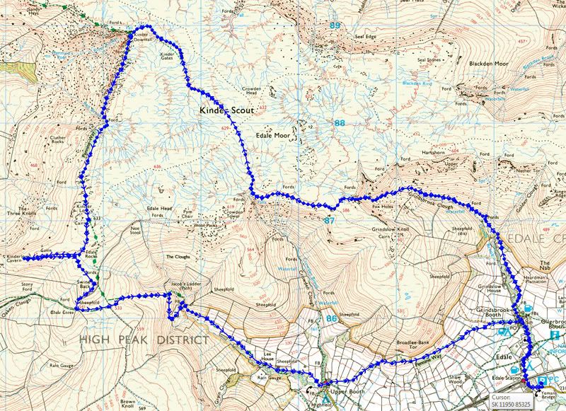
First of all cue to now obligatory OS Map (courtesy of Crown copyright). We wandered a bit but hey, that's what walking's all about.
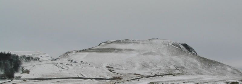
So off we went. Things started well and we got a stunning picture from the car. Yes, to the left, people are sledging down the back of Mam Tor.
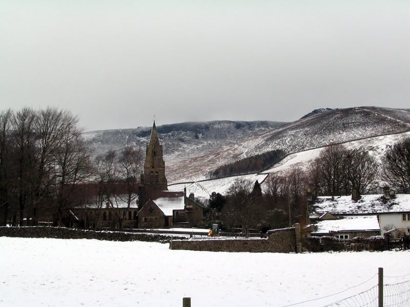
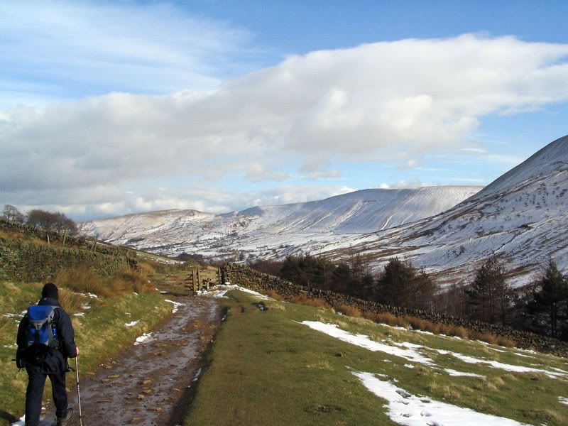
After not being able to make it across Mam Nick in the car due to a transit van struggling to make the other way due to heavy (well for this country) snow. We eventually drove around the hill and parked up in Edale Village giving a lovely view of the church.
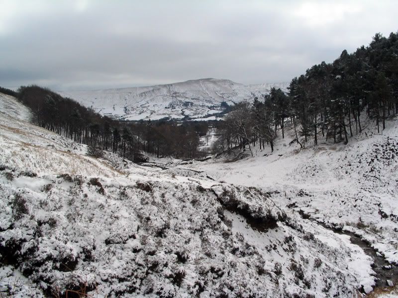
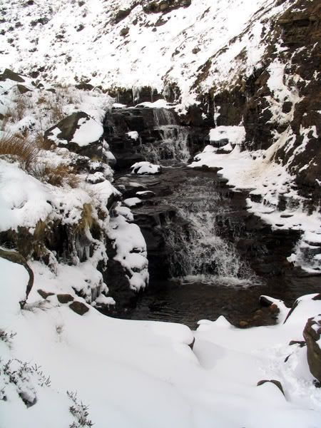
So off we trotted. Following the path to Grindsbrook.
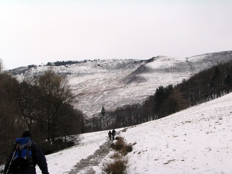
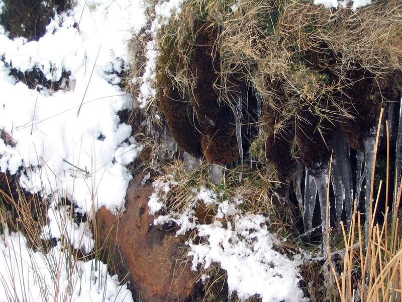
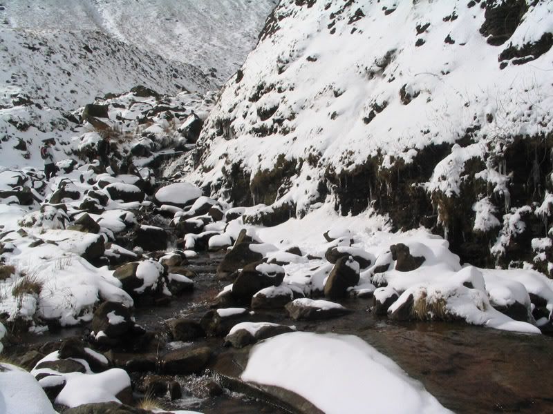
This was the first time we'd walked in snow on Kinder and the transformation was incredible. A fantastic landscape of snow and ice. I think the pictures can do the talking from here. All views up and down the clough.
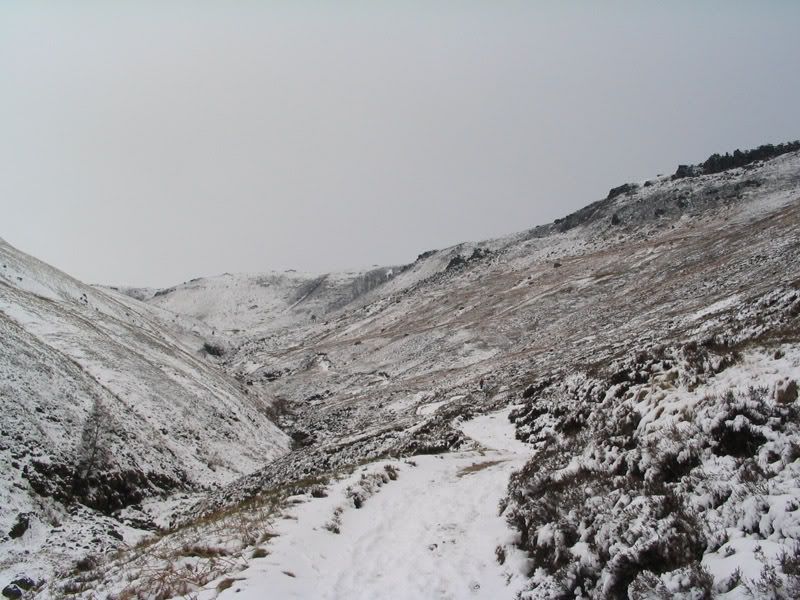
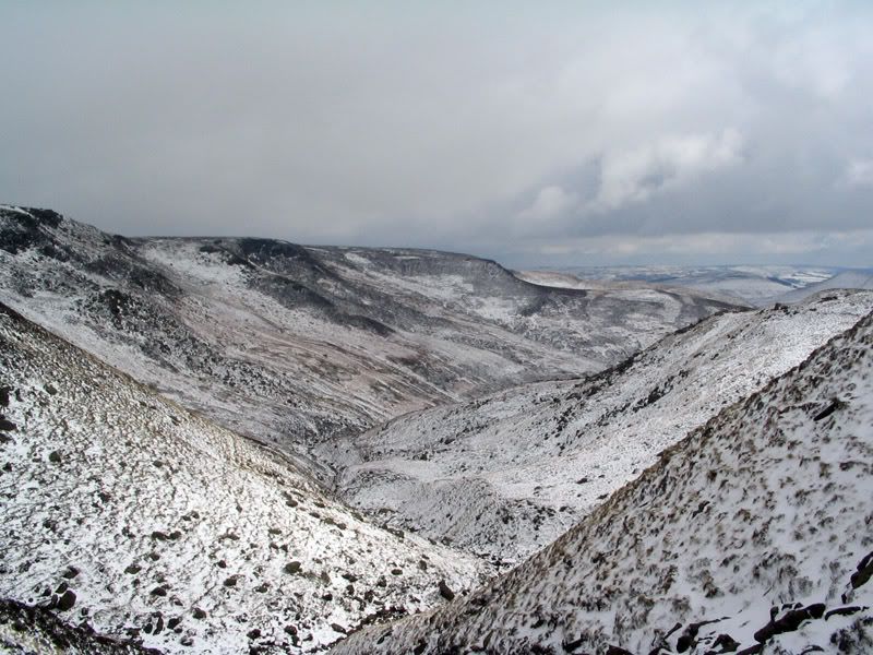
Considering my efforts in the Gym we made the top in good time, especially so considering the snow was almost a foot deep in places. At the top it's fair to say the snow changes the view a lot.
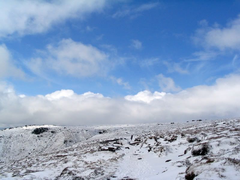
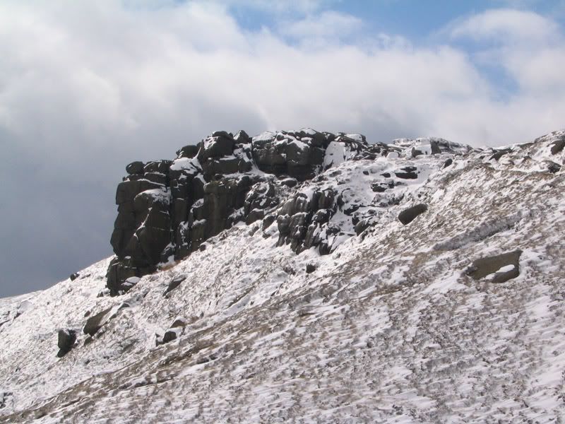
From here we headed towards Crowden Tower, and this picture sums up the day. It was a windy but clear day, blue skies, sun, ice and snow.
Eventually we made the tower and took a decision. Do we go across the plateau to Kinder Downfall or go through the woolpacks.
We decided to go across the plateau.
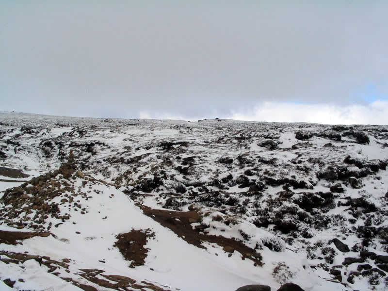
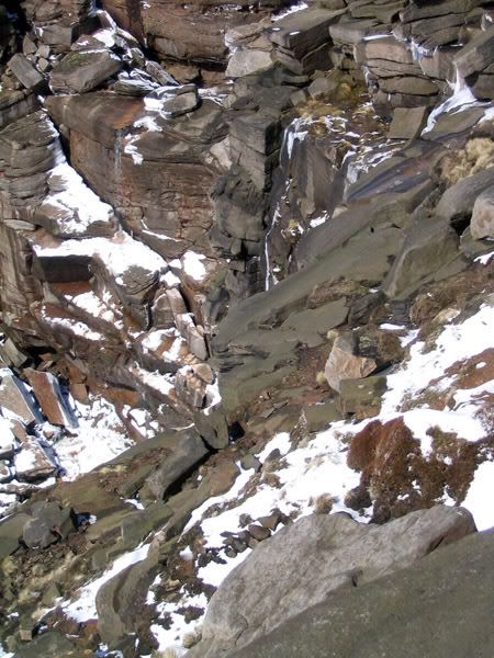
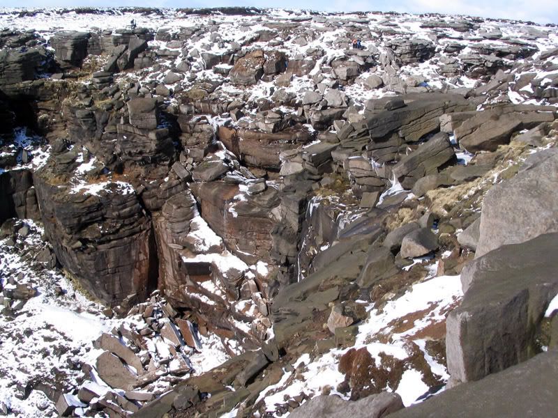
Now Kinder plateau is strange enough at the best of times. Now all of the gullies were filled with snow, so even despite much probing with walking poles (which one of the bogs stole the rubber end of) I went in to my waist and ended up filling a boot with water. Still it was fine after I emptied it and some of the drifts must have been 12 feet deep. Walking poles revealed many were 3-6 feet deep.
We found a few people who were lost even with directional GPS (I use a live map GPS, and well it may be a shock but also real compass and map). But we pointed them in the right direction and they made it ok.
Eventually we found ourselves at Kinder Downfall, so we stopped for a breather and a welcome bite to eat. The views were stunning.
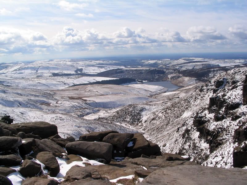
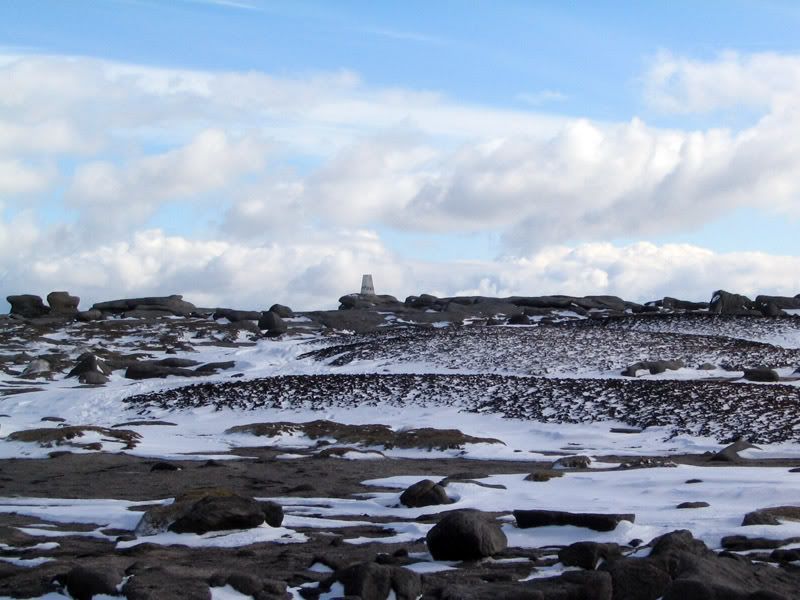
Sated and ready to head home we walked the Western edge noting the trig point on the way.
So slightly squelchy of boot and bitten by ice on the wind we bade farewell to Kinder Scout yet again. In fairer weather we'll be back to do the lot from Kinder to Rushup. Until then though lets just say Au Revoir.
© Dazza


