Author Topic: [TR] GR5 - The Grand Traverse of the Alps 2013  (Read 29238 times)

sunnydale

  • Veteran Member
  • *****
  • Posts: 9105
Re: [TR] GR5 - The Grand Traverse of the Alps 2013
« Reply #30 on: 22:53:39, 22/10/13 »
Fantastic! O0
***Happiness is only a smile away***

kukko

  • Jr. Member
  • **
  • Posts: 80
Re: [TR] GR5 - The Grand Traverse of the Alps 2013
« Reply #31 on: 13:45:49, 23/10/13 »
DAY 16 - VACHETTE to BRUNISSARD
Ascent: 1425m
Descent: 966m
Distance: 25km
Walking time 6:30 - 14:30


I left the campsite and headed towards Briancon along a nice balcony.


An early 18th-century bridge, which was spanned over a crazy deep gorge.


Approaching big city of Briancon.


I left the city quickly behind as I didn't feel comfortable in urban surroundings.


A hiker resting at the top of Col des Ayes (2477m).


I camped in a forest campsite just before Brunissard and enjoyed a good dinner at a nearby restaurant. The campsite was lovely but there was a huge amount of flies. I had like hundred flies buzzing between my inner tent and flysheet. The only way to get rid of them was to wait until dark and more cold air, and then to release them by taking off the flysheet. I don't know the behaviour of the flies but this seemed to do the trick. In the evening they disappeared. Maybe they went to disturb the wild boar I heard grunting in the thick forest.


MORE TO FOLLOW...

altirando

  • Veteran Member
  • *****
  • Posts: 2601
Re: [TR] GR5 - The Grand Traverse of the Alps 2013
« Reply #32 on: 14:17:17, 23/10/13 »
You are getting down into my favourite part of the alps.  Did you go through the Vallee de la Claree just north of Briancon?  This must be the prettiest valley in the French alps, highly recommended to anyone who wants not-too-challenging alpine walking in superb scenery.

robstubbs

  • Veteran Member
  • *****
  • Posts: 1990
Re: [TR] GR5 - The Grand Traverse of the Alps 2013
« Reply #33 on: 18:12:07, 23/10/13 »
Great read and pics once again !

Rob.

kukko

  • Jr. Member
  • **
  • Posts: 80
Re: [TR] GR5 - The Grand Traverse of the Alps 2013
« Reply #34 on: 14:57:37, 24/10/13 »
altirando: Yes the route arrives to Vallee de la Claree at Nevache, then at Plampinet it climbs off the valley and returns to it later at Vachette and Briancon. It's beautiful like you said:)

DAY 17 - BRUNISSARD to CEILLAC
Ascent: 1305m
Descent: 1410m
Distance: 26km
Walking time 6:00 - 16:00


They looked so cute together...


Enjoying the breakfast at Lac de Roue, close to Château-Queyras.


I walked through a very enchanting forest before the Fort Queyras appeared to my view.


I met a Dutch man I had heard rumours about. This 60 year old superman had walked four months from Amsterdam. We walked the day together and it was a real pleasure and honor.


These cows were eating happily when we passed by. Soon after we noticed  that the cows were moving also. I hope it was not because of us...


Admiring the towering twin peaks of Pointe de la Selle.


Final short descent to Ceillac and campsite behind it. I was short on supplies so I bought plenty of stuff from the village store, in total 2,3 kilos! It really felt the next day:)


MORE TO FOLLOW...

russwalk.co.uk

  • Jr. Member
  • **
  • Posts: 45
Re: [TR] GR5 - The Grand Traverse of the Alps 2013
« Reply #35 on: 18:22:26, 24/10/13 »
Once again great photo's O0

kukko

  • Jr. Member
  • **
  • Posts: 80
Re: [TR] GR5 - The Grand Traverse of the Alps 2013
« Reply #36 on: 10:05:43, 28/10/13 »
Thanks you guys for the positive feedback about my photos. On this trip I used my dad's Sony Cybershot DSC-RX100 pocket camera, also for the video. What a small little beast! Perfect for this kind of trip. http://www.dpreview.com/reviews/sony-cybershot-dsc-rx100

Afterwards I go through each photo I want to publish and photoshop them a bit, just basics of cropping and color correction. Unfortunately they lose a bit of sharpness when uploading to Photobucket image hosting.

Okey, but let's move on to day 18, again just a splendid day of walking. One of my favourite days although it was long and very exhausting.

DAY 18 - CEILLAC to FOUILLOUSE
Ascent: 1496m
Descent: 1195m
Distance: 26km
Walking time 6:20 - 16:00


The first ascent of the day took me to a beautiful lake, Lac Mirror, which reflected perfectly the surrounding scenery. A nice spot for breakfast mysli.


Then one hour 30 minutes later I reached another amazing lake, Lac Ste Anne. And from there last 300 vertical meters up to the Col Girardin (2706m).


At Col Girardin. Warm, no wind... I could have stayed there forever, watching the clouds slowly passing by, being deeply connected to the moment.
But I had still a long way to go.


A narrow path leading to La Barge along the mountainside.


When reaching the valley floor, I had 90 minutes of hard road walking ahead of me and it totally killed me.


After the road walk, it was time to go up again another 300 vertical meters to reach the village of Fouilloise. It had been very hot day and for the first time I was really low on energy. The last climb took ages. I had to stop all the time and force myself to move again. Rocky was repeating in my mind: "..keep moving forward, how much you can take and KEEP MOVING FORWARD!"


I set my tent a bit further from the village, out of sight. Perfect and quiet spot although I had again, for the third night in a row, annoying problem with the flies. They were just everywhere. What's wrong with this area of the Alps?


MORE TO FOLLOW...

sunnydale

  • Veteran Member
  • *****
  • Posts: 9105
Re: [TR] GR5 - The Grand Traverse of the Alps 2013
« Reply #37 on: 18:41:20, 29/10/13 »
What stunning scenery  O0
***Happiness is only a smile away***

altirando

  • Veteran Member
  • *****
  • Posts: 2601
Re: [TR] GR5 - The Grand Traverse of the Alps 2013
« Reply #38 on: 22:24:32, 29/10/13 »
Yes, the Queyras - I had been having thoughts of exploring this area next summer, based in Guillestre.  The photos tend to make me more enthusiastic.

kukko

  • Jr. Member
  • **
  • Posts: 80
Re: [TR] GR5 - The Grand Traverse of the Alps 2013
« Reply #39 on: 08:40:42, 15/11/13 »
DAY 19 - FOUILLOUSE to LARCHE
Ascent: 755m
Descent: 1014m
Distance: 17km
Walking time 6:20 - 11:40


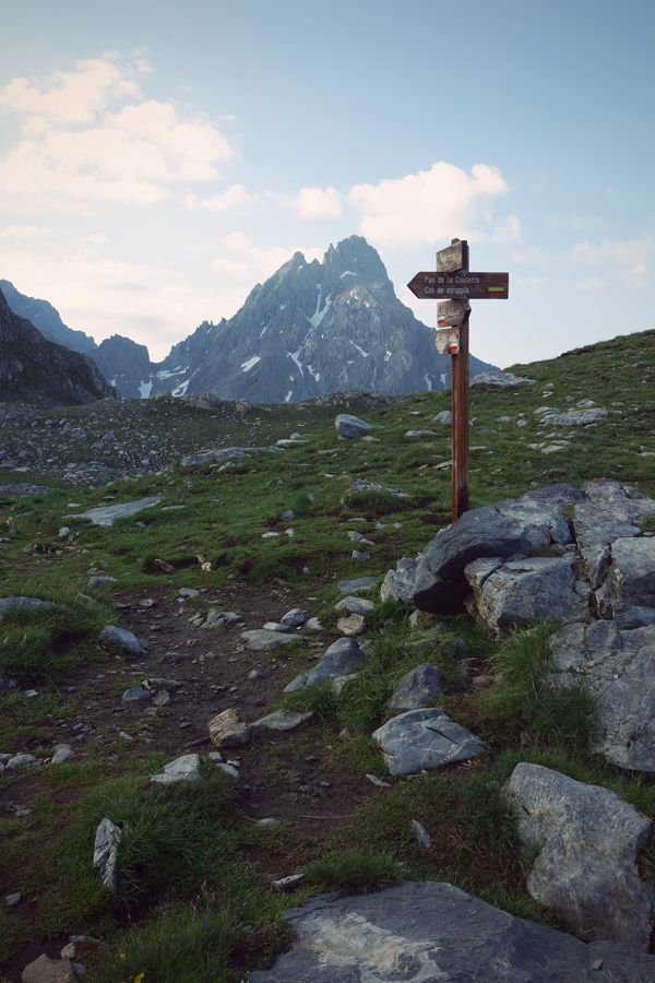
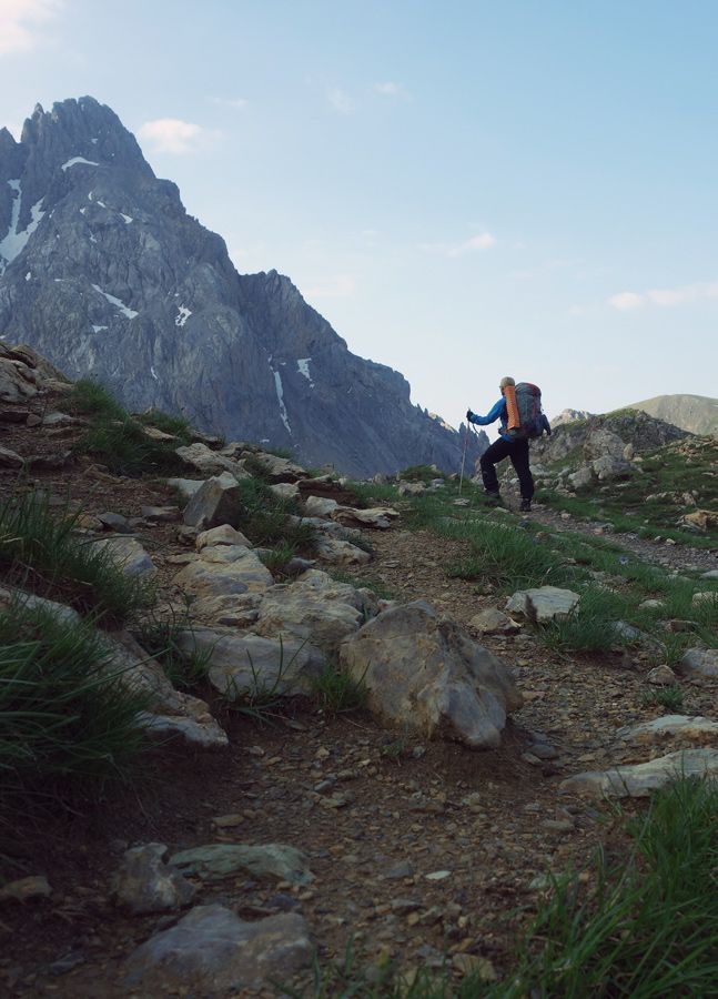
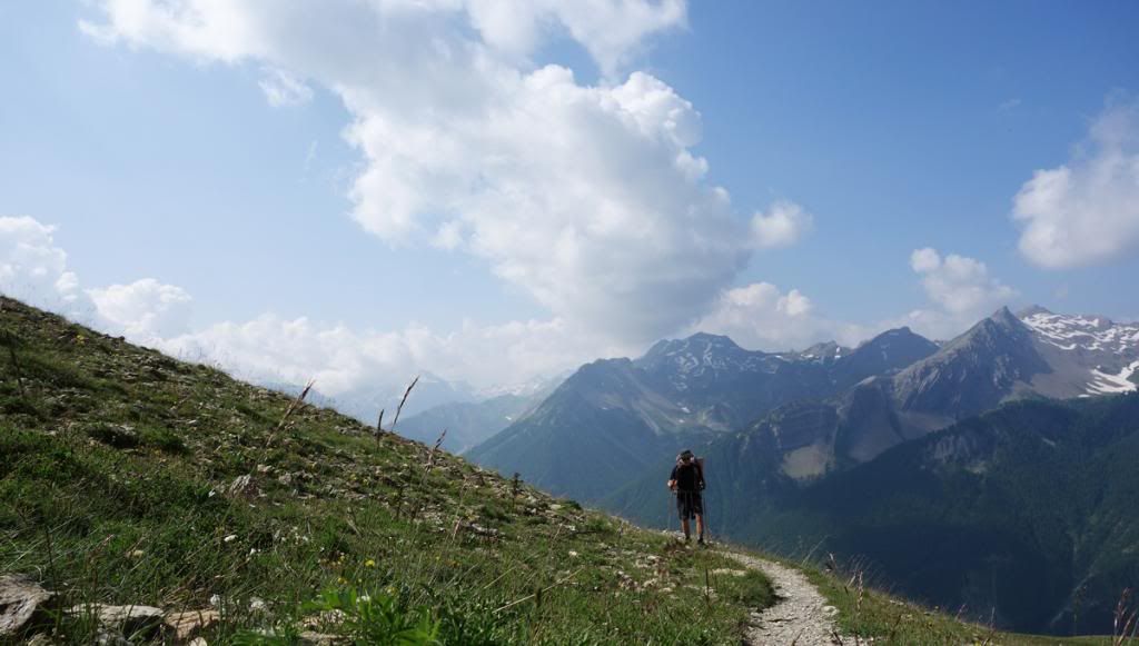
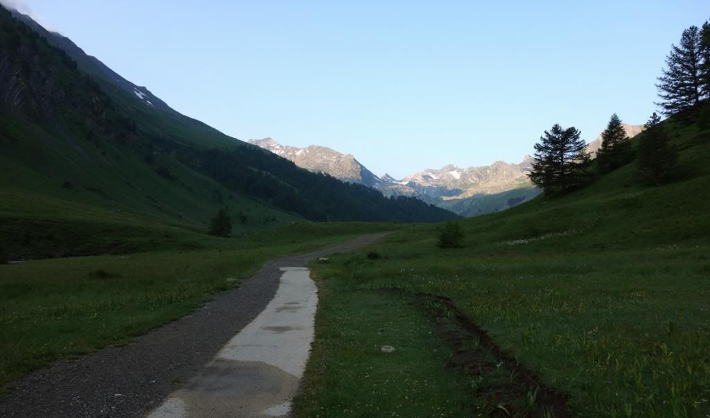
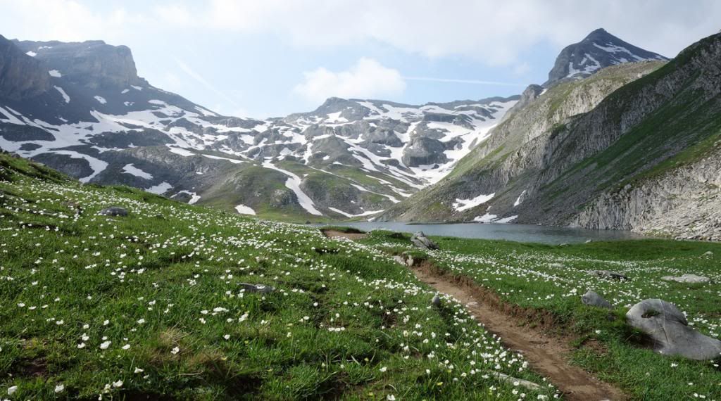
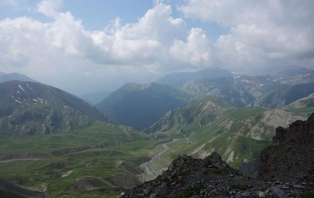
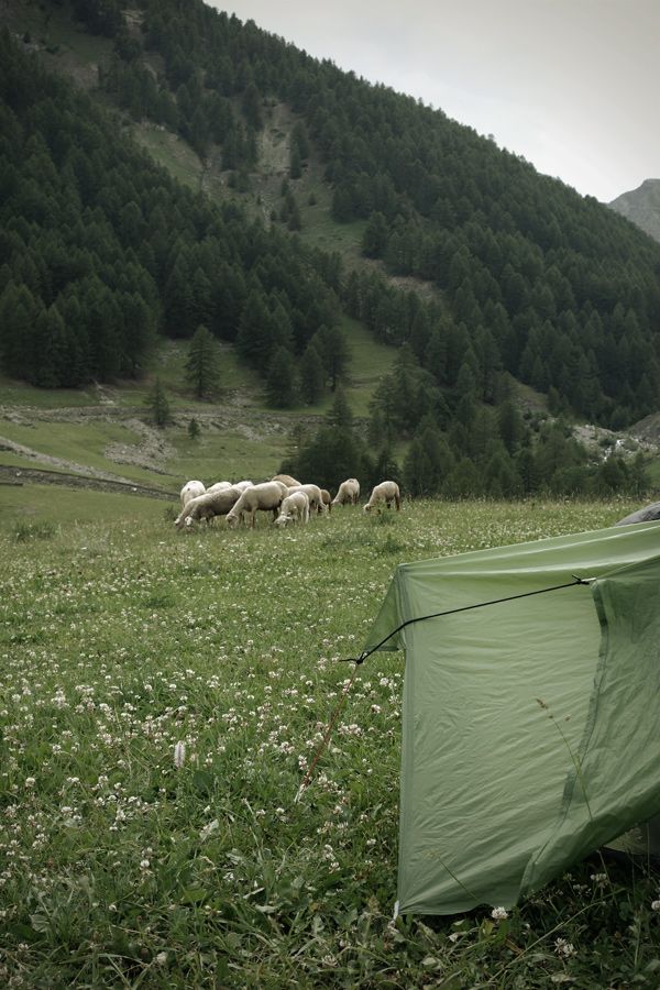
I left the meadow and wild camping spot behind and headed towards Col du Vallonnet (2520m).


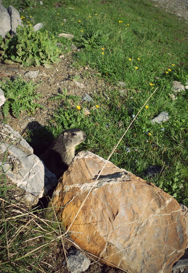
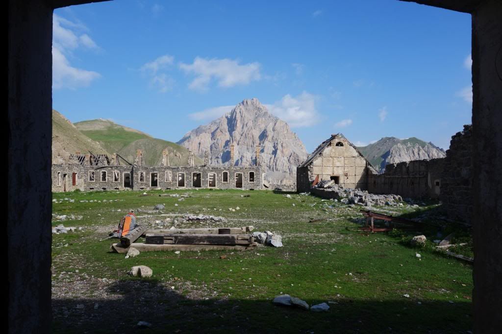
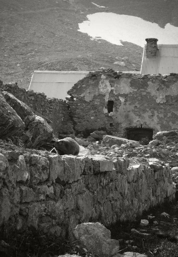
The ruins of Baraquements de Viraysse were full of marmots. I was able to sneak behind this little fellow:)


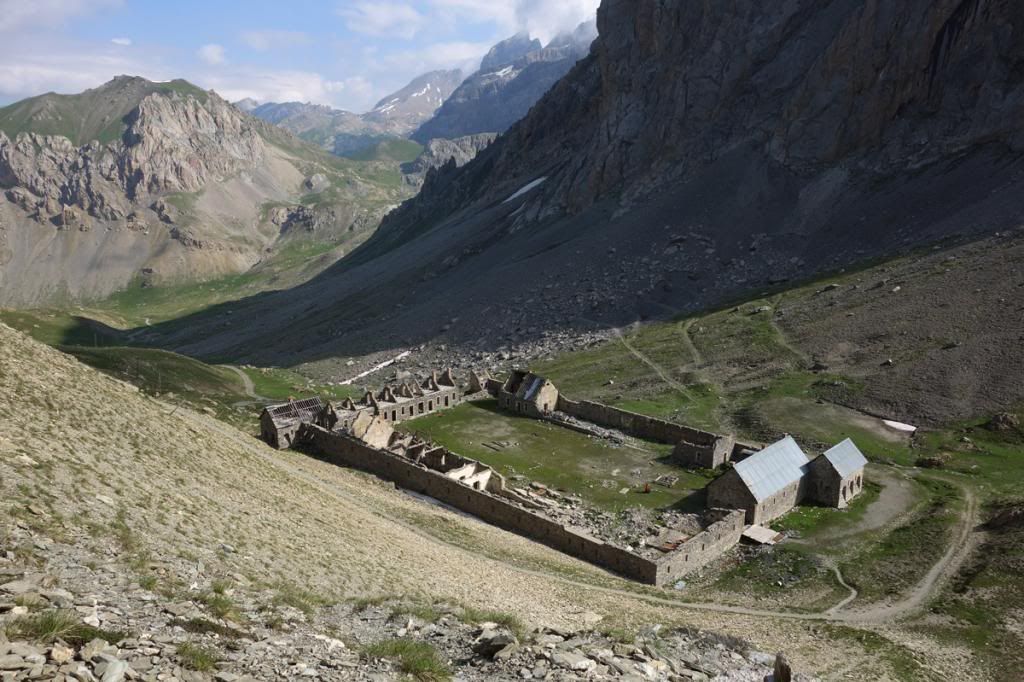
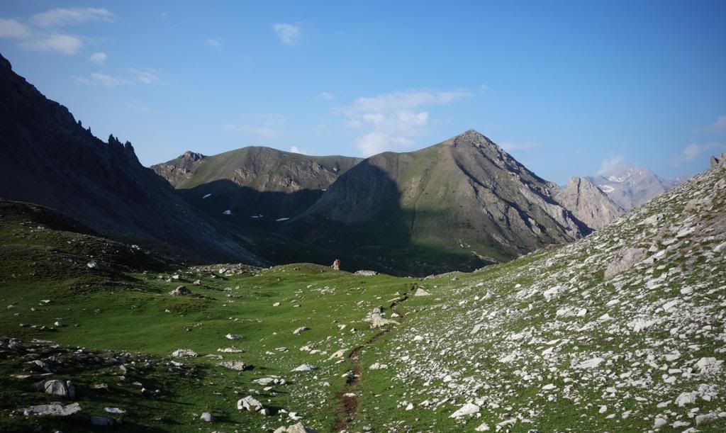
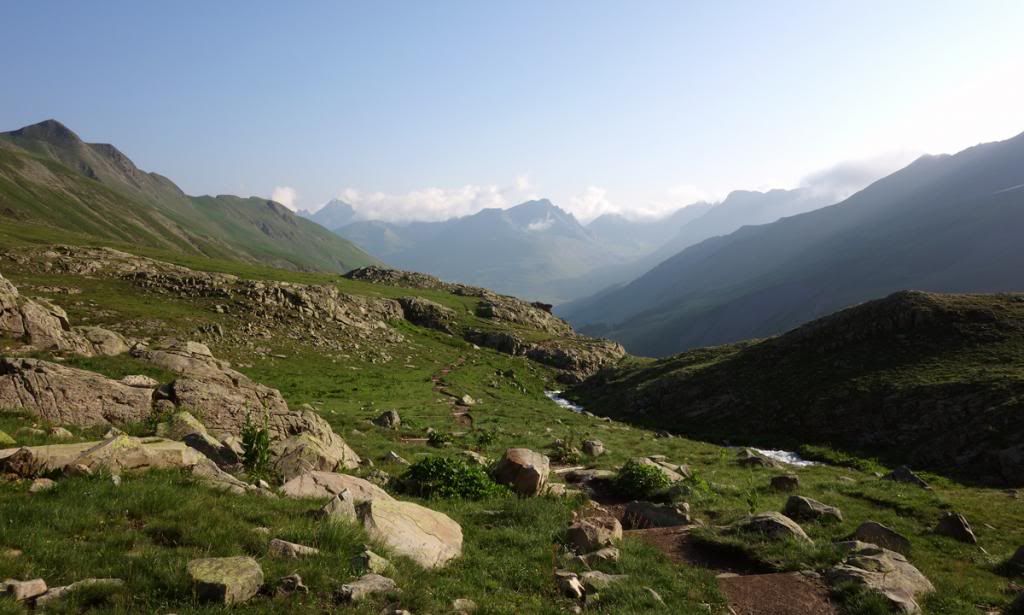
Looking back to the ruins from the second pass of the day, Col de Mallemort (2558m).


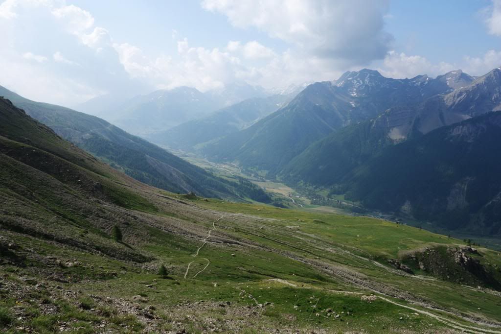
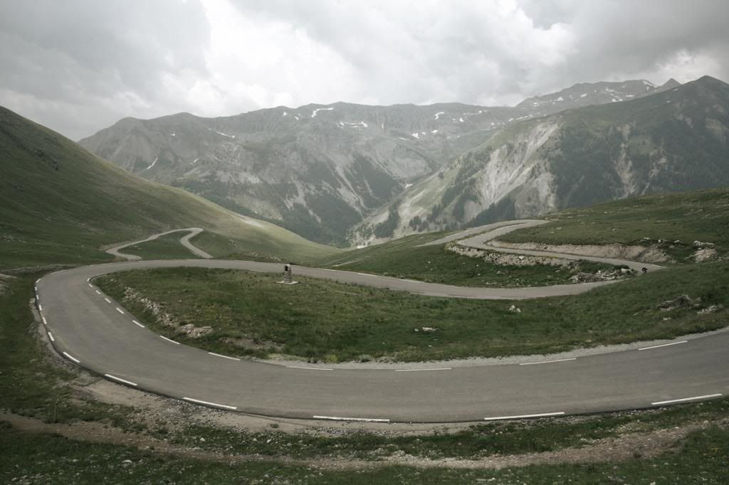
From the pass it was just a short descent down to Larche (1680m).


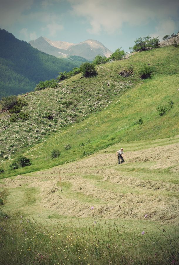
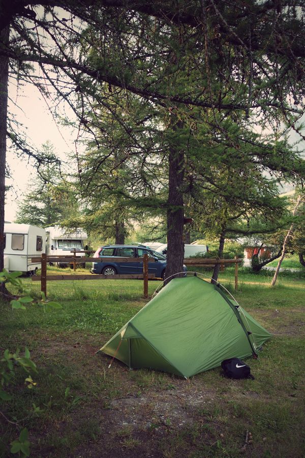
There was a well equipped campsite behind the village. After a short and quite uneventful day I just relaxed in the sun and prepared myself for the tough last six days.


DAY 20 - LARCHE to BOUSIEYAS
Ascent: 1240m
Descent: 1035m
Distance: 21km
Walking time 6:00 - 13:30


After Larche my path entered the Parc National du Mercantour. Again the wild camping was strictly prohibited, also feeding already fat marmots. It was early in the morning, no other walkers, just me, marmots and chamoix running freely on the slopes of the valley.


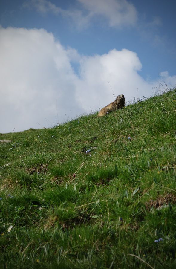
I had been hoping for to get a shot like this, a marmot having the sky as a background. I got lucky when one hopped just in to a right spot.


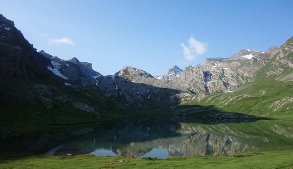
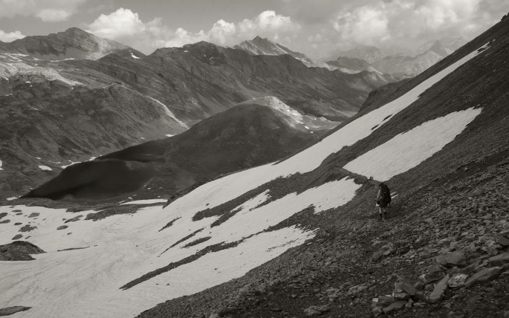
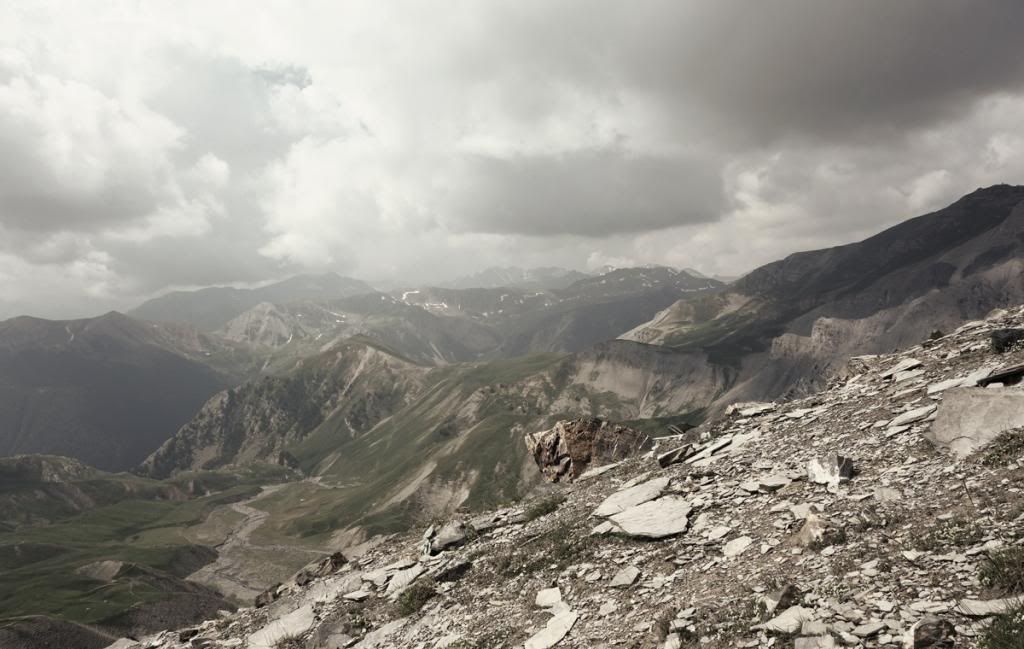
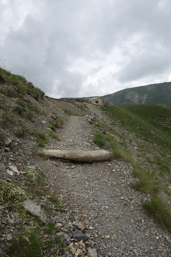
After passing two mountain lakes, the path climbed steeply through loose gravel up to the Pas de la Cavale (2671m).


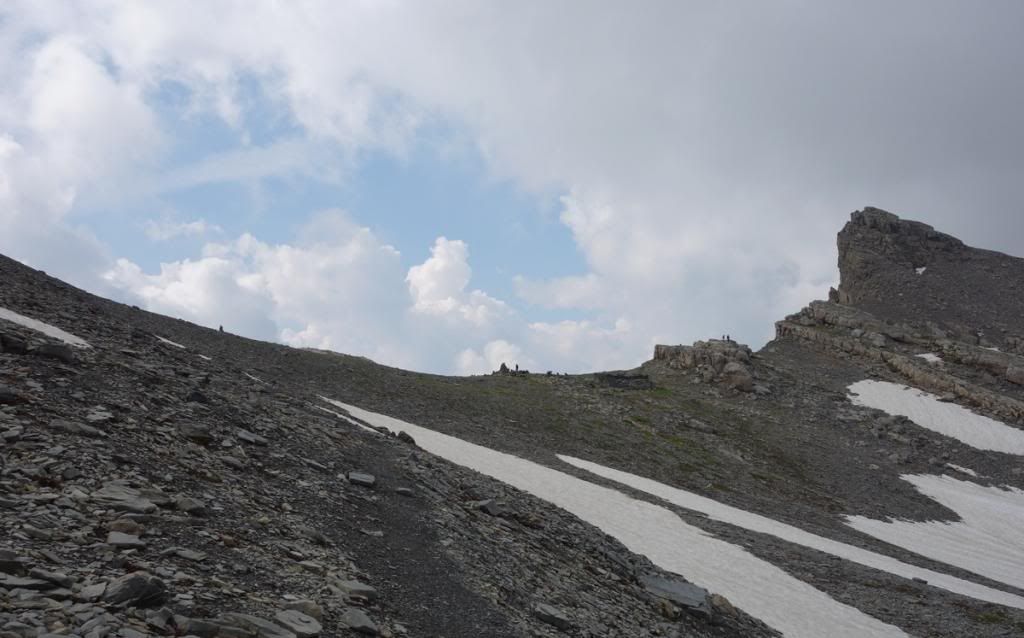
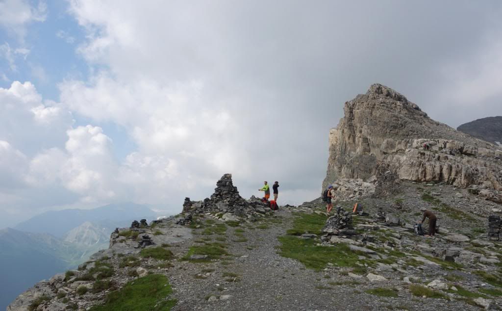
Down to a valley and then back up again, to the Col des Fourches (2261m), which was guarded by old concrete casemates.


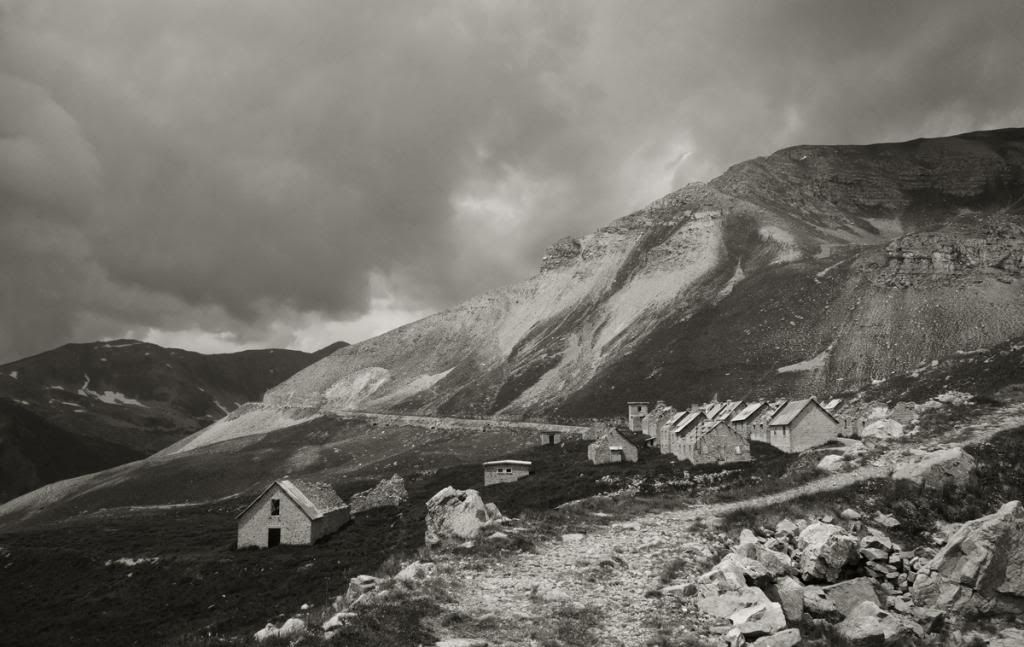
Ruined barracks, Camp des Fourches.


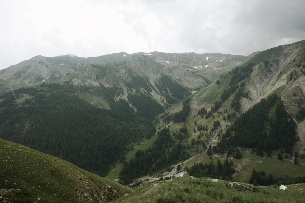
Down there the tiny hamlet of Bousieyas can be seen. It's the highest hamlet in the Alpes-Maritimes (1883m).


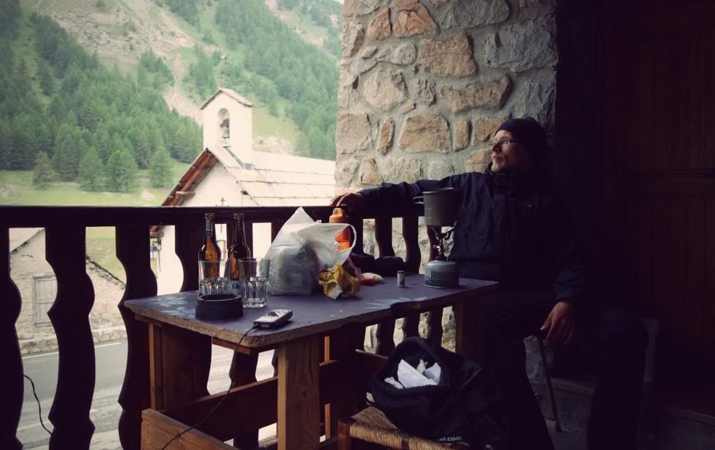
The local gîte d'etape had a small camping ground where I stayed for the night. In the evening it started to pour water. Fortunately there was a cozy terrace to cook and spend time. The next day would be the last of Stage 5 and I was feeling the end drawing near.

(those beers are not mine!)


MORE TO FOLLOW...

sunnydale

  • Veteran Member
  • *****
  • Posts: 9105
Re: [TR] GR5 - The Grand Traverse of the Alps 2013
« Reply #40 on: 09:06:02, 15/11/13 »
There's more?  I can hardly wait! 8)   These photos really are brilliant Kukko and I for one appreciate you posting them.


Tracey :)
***Happiness is only a smile away***

kukko

  • Jr. Member
  • **
  • Posts: 80
Re: [TR] GR5 - The Grand Traverse of the Alps 2013
« Reply #41 on: 09:08:45, 15/11/13 »
There's more?  I can hardly wait! 8)   These photos really are brilliant Kukko and I for one appreciate you posting them.


Tracey :)

Thanks!

Well I have to get to Nice, so there's more!  ;)

altirando

  • Veteran Member
  • *****
  • Posts: 2601
Re: [TR] GR5 - The Grand Traverse of the Alps 2013
« Reply #42 on: 12:38:54, 15/11/13 »
Reminding me again that this is a great part of the alps for mountain walking.  I think I camped near Fouilouse once.  Those strange concrete bunkers were part of the Maginot Line, I saw in a tourist office, I had always thought this was just in northern France.  But I think abandoned by the French who surrendered without firing a shot from them and let the Italians walk in.  Sounds like Tracey has found her next holiday destination!

sunnydale

  • Veteran Member
  • *****
  • Posts: 9105
Re: [TR] GR5 - The Grand Traverse of the Alps 2013
« Reply #43 on: 13:00:02, 15/11/13 »
  Sounds like Tracey has found her next holiday destination!


I've put it on my list  ;) :D
***Happiness is only a smile away***

kukko

  • Jr. Member
  • **
  • Posts: 80
Re: [TR] GR5 - The Grand Traverse of the Alps 2013
« Reply #44 on: 09:09:34, 25/11/13 »

DAY 21 - BOUSIEYAS to AURON
Ascent: 1265m
Descent: 1535m
Distance: 26km
Walking time 6:00 - 14:30


I left Bousieyas early in the morning. While climbing towards the first pass of the day, Col de Colombiere (2237m), I had my first real encounter with the pastous, the famous sheepdogs. I was walking along a narrow forest road, sheeps inside a fence on a upper hand slope, when I saw two black dogs in a road curve in front of me. There was no other way but to keep walking along the road. So, younger of the dogs, which looked like a big size terrier, came barking towards and parked itself in front of me. I stood still letting it get used to me, but it just kept barking and barking. The whole valley was echoing. After a while I tried to move, the dog got angrier and tried to be in front of me blocking my way. I pushed myself carefully step by step forward. When reaching the curve, the older dog joined the circus and started to bark as well. Now I was surrounded by the two dogs. I was sure I was going to die within seconds.  But after the curve and their guard spot they stayed more and more behind and I was finally free to keep going.

Damn it was scary.


More southern flowers.


St. Dalmas le Sevage.


In the village I smelled a tempting smell of freshly baked bread but I couldn't find any bakery or store...


While climbing towards Col d'Anelle (1739m) dark clouds started to gather...


Vallée de la Tinee and the village of St. Etienne de Tinée in sight. Down to the village and behind begins the final ascent to the ski resort of Auron.


Before reaching Auron it started to rain heavily. I stayed almost two hours in front of the local movie theater and waited the rain to cease. Then I went to the campsite and bought some supplies from the village store:


After so many pizzas I decided to try a burger plate! This was the end of stage 5, so only the last 6th stage to go. Feeling great and excited although it would be very tough last four days. There was still 132km (82 miles) in total to the airport of Nice... the terrain wasn't getting any easier either if thinking the amount of climbing per day. Also the weather was getting much more hotter now.


MORE TO FOLLOW...
(4 days to Nice...)


Terms of Use     Privacy Policy