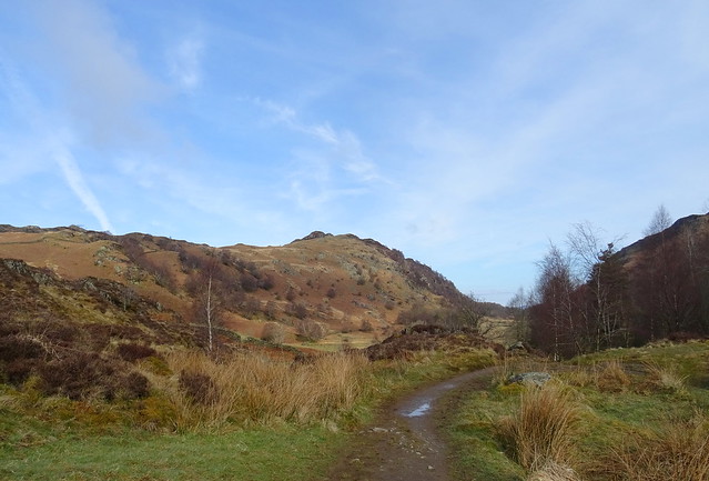
When we checked the weather forecast on Friday night for the weather on Saturday it said light rain. This changed overnight to light rain and then heavy rain later so we set off thinking we would most likely change the plan of pitching on High Spy to somewhere else depending on how wet we got. We stuck to the original start of going up Grange Fell from Troutdale. Off the bus at Grange then we walked through the very lovely Troutdale. The rain was on and off and very light at first, not bad at all.
Beefy with Black Crag in view
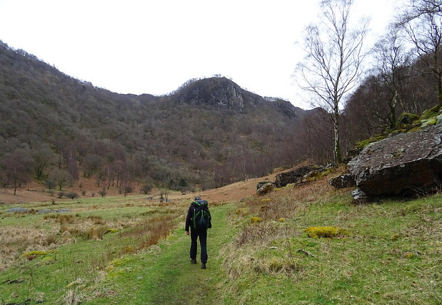
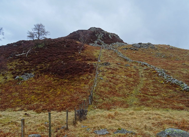
The path up is steep and is mostly pitched and it isn't very nice to go up in the wet, so slippery. Some of the stones are sloping so it is even more tricky descending this way.
Kings How ahead
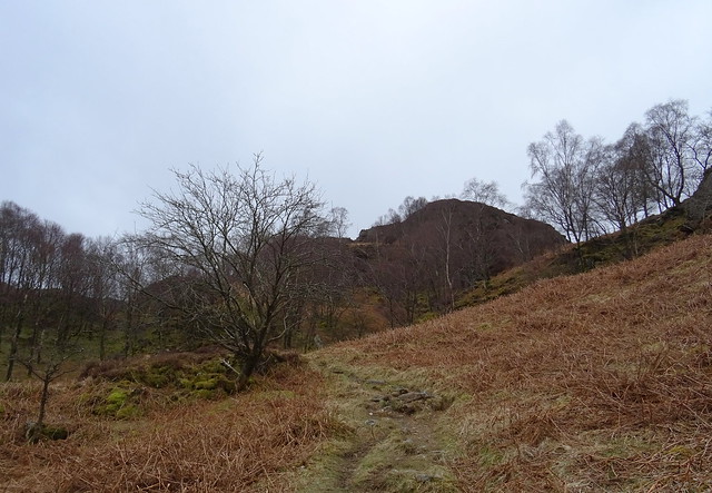
The path becomes less steep but then you realise how much more ascent there is! We were down to base layers under our waterproofs. We hadn't put waterproof trousers on the rain was still not that bad.
Grange Fell summit from the way up Kings How
Beefy on Kings How
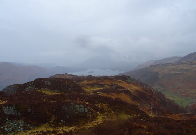
The cairn has vanished. Note the poor views over Derwent Water to Skiddaw.
It started raining more heavily and our waterproof trousers were put on after we had descended Kings How. We were ready for our lunch and we were lucky to find some shelter in a rocky recess with holly tree umbrella
Our lunch time shelter
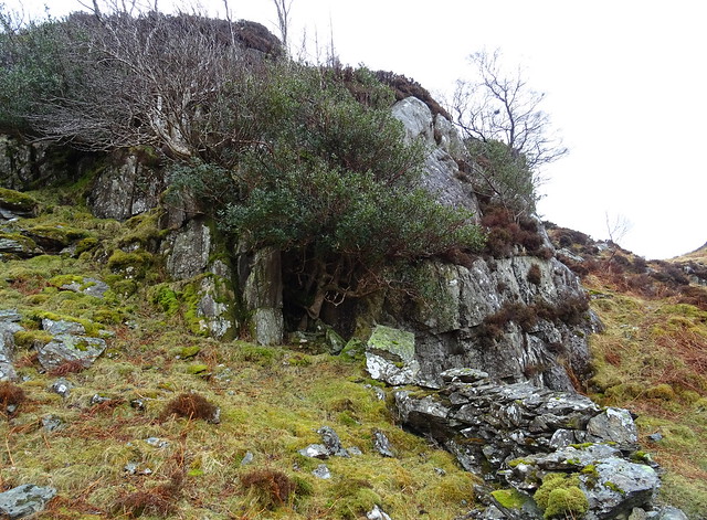
We were dry while we were eating our lunch and we felt we had cheated the weather
Looking back at Kings How
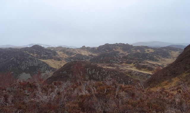
The view from Grange Fell top
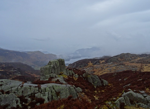
More cloud had built up
We popped up on to the AW top first then headed over to the other rocky outcrop that vies for the top spot that has a cairn
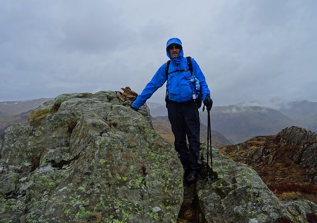
Beefy on the cairned top of Grange Fell
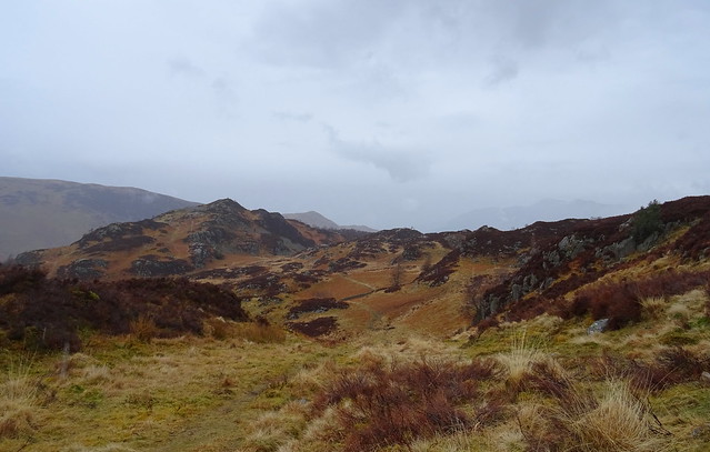
We'd decided while we were having our lunch to go over to Ether Knott another top on Grange Fell and pitch there if we could find somewhere dry enough. We would be soaked if we waited until we'd reached High Spy. It was wet in places as we plodged over to Ether Knott
At the foot of Ether Knott
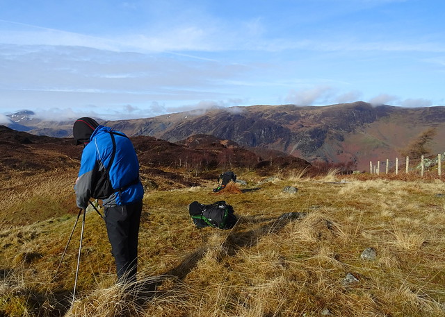
The ground was rough to walk on, steep, heathery and rocky ground, time consuming and tiring.
Derwent Water from Ether Knott
We started looking for somewhere suitable to pitch. We wandered around and about and all the way to Brown How without finding somewhere, the rain had eased a little so we weren't soaked, just a little wet. We wanted flat, dry, fab view. There was no wind so that wasn't a factor in the search.
Kings How from our wanderings
A lovely spot on our search for a pitch, too lumpy

We ended up at Ether Knott again, we'd seen some flattish grass among rocks on the south east side of Ether Knott on our way up it earlier. We found a pitch there, though no view of Derwent Water, it had great views of the fells to the south. It had only taken almost 2 hours from when we left Grange Fell summit

We got some water from the nearby beck and started it filtering. Just in time the rain got really heavy.
The MSR pitched below Ether Knott
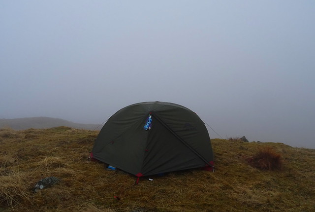
As you can see the clag came down, we might as well have pitched anywhere we couldn't see anything

We had our tea and opened the wine. The clag stayed with us though the rain eased after a few hours. We had an early night hoping for better weather and the view in the morning.
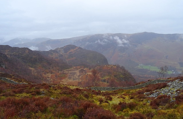
Our route was Grange - Troutdale - Kings How - Brund Fell - Ether Knott - explore of the area down to Brown How - Ether Knott - to pitch below 7.64km with 676m ascent.
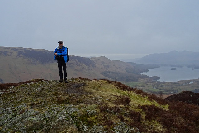
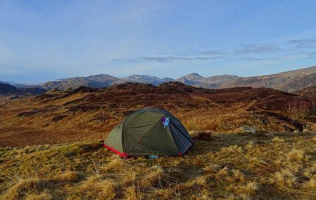
We awoke to blue skies and a view. We got our waterproofs drying on the nearby fence after we had our breakfast
The MSR with the lovely view
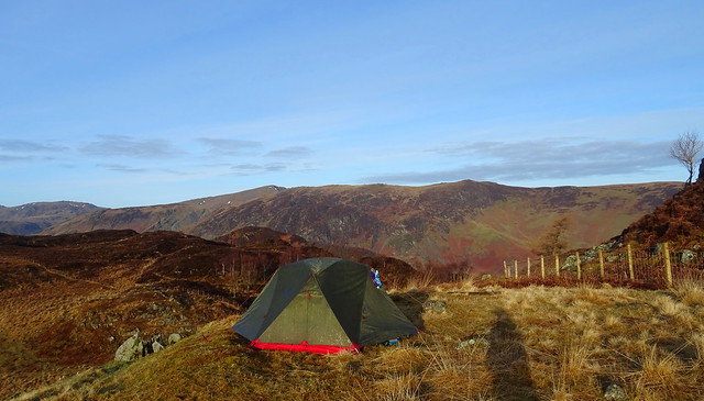
The MSR with Dale Head and High Spy behind
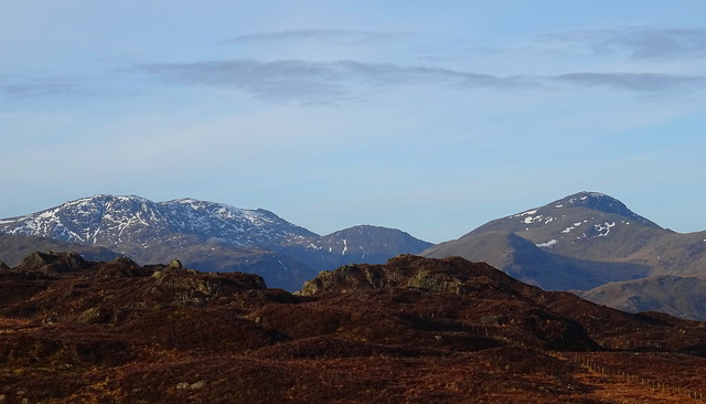
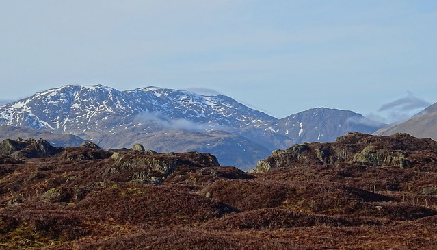
Zooming in on Great End, Scafell Pike, Lingmell and Great Gable
Mist began to appear
As we packed our gear away the cloud started to cover the tops
Leave no trace
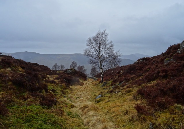
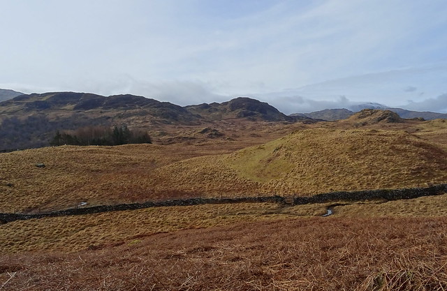
We descended toward Puddingstone Bank which is down there by the trees
We were debating where we would walk next when we saw a couple coming from the Dock Tarn direction. We had a chat for a few minutes, they had pitched overnight at Dock Tarn and were heading back home. Nice to meet you both and I know there is a place you can pitch at Dock Tarn

We turned left to Watendlath, the cloud was over the tops so a walk through the valley from Watendlath would be nice, toward Ashness
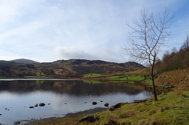
Watendlath Tarn with great Crag behind
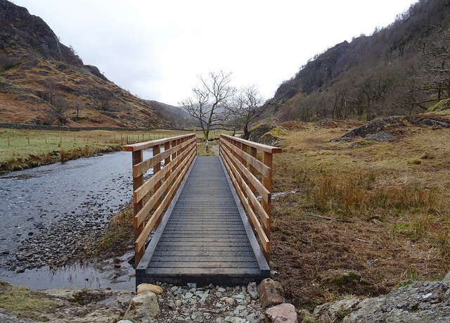
The footbridfge in Watendlath has now been restored to full health and the temporary footbridge has been removed now.
Ether Knott from Watendlath
We had been pitched up thur

The waterfall near Watendlath

Looking back at the way we'd come along the valley
We stopped for our lunch looking at Reecastle Crags sheltered behind a huge erratic. The wind was stronger than it had been yesterday
A new footbridge on the path
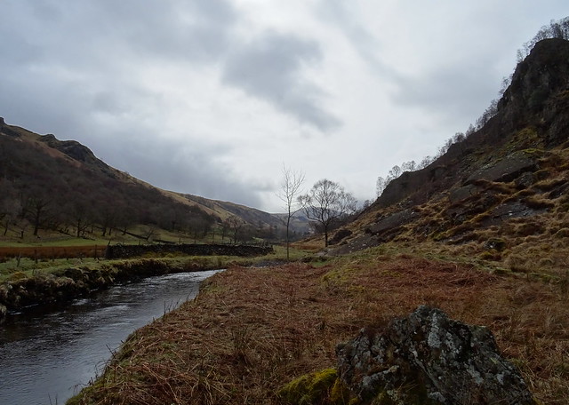
The footbridge over the beck near the triangular flag stone waypointer has been repaired too, or rather the river bank that had fallen away one on side of the beck has. We had a look out from Surprise View near Ashness but the view wasn't that great as Skiddaw was covered in clag, surprise

At Ashness we took the fellside path to Great Wood where we caught the 78 to Keswick. Our route was Ether Knott - Puddingstone Bank - Watendlath - Ashness Bridge - Great Wood. 9.65km 201m ascent. Not a bad weekend, we enjoyed the walks and at least we got a campsite view the next day.


