We paid a visit to Rannerdale first on Saturday to see the bluebells. I think we were too early though, there are a few about but not the fabulous display we saw a few years ago. Maybe another week or so and it will be more vibrant.
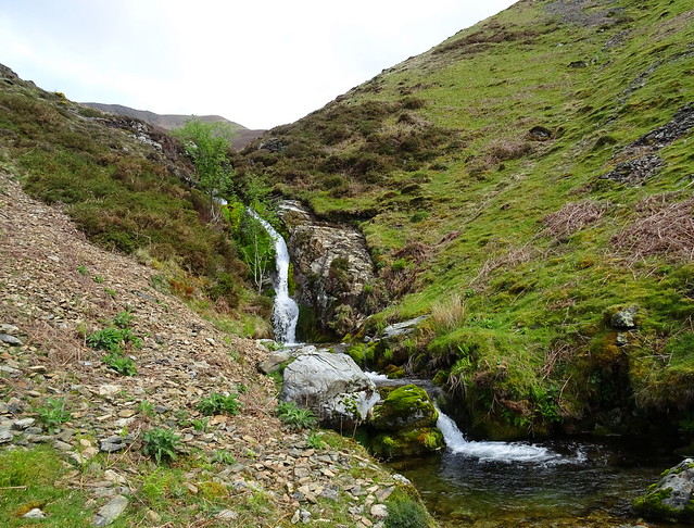
We walked upwards toward Rannerdale Beck and its waterfall to sit for our lunch. We walked around the wall avoiding the area where the bluebells were so we didn't trample any. There are areas cordoned off this year because of the damage people are doing by walking through the bluebells.
Waterfall on Rannerdale Beck
After lunch we walked toward Low Bank and then we were descending to Buttermere. There was a few sunny spells and the winds were quite light not a bad day
Rannerdale Knotts and Mellbreak beyond the bluebells

Rannerdale Knotts above the trees
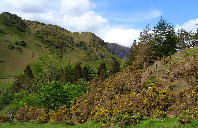
Looking back at our walk through Rannerdale
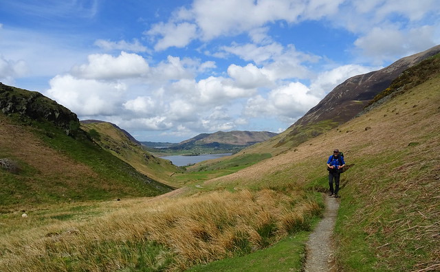
When we got to Buttermere we found we were in time for a bus to Gatesgarth, we got on the bus instead of walking along the Buttermere shore path with most likely 5 thousand other people. We were going over the High Stile Ridge and wanted to camp on Starling Dodd.
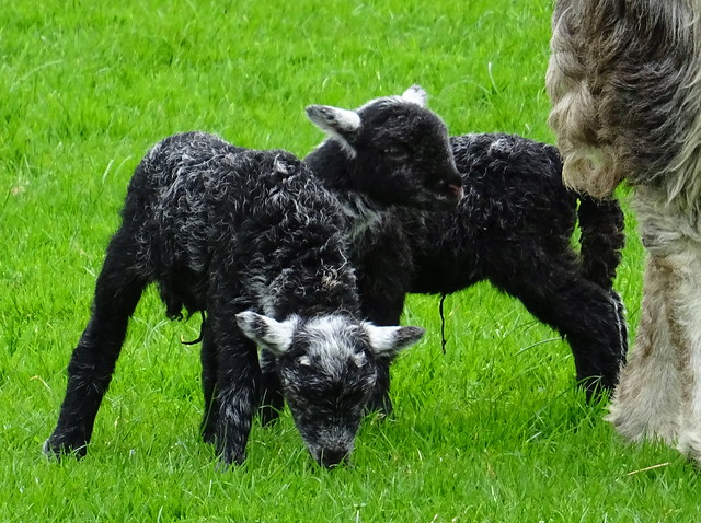
Babby lambs at Gatesgarth
On the way up the Scarth Gap pass
It was about 2pm by this time so we had missed the rush hour and the path was less populated than normal
Fleetwith Pike
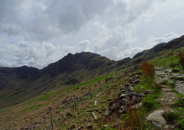
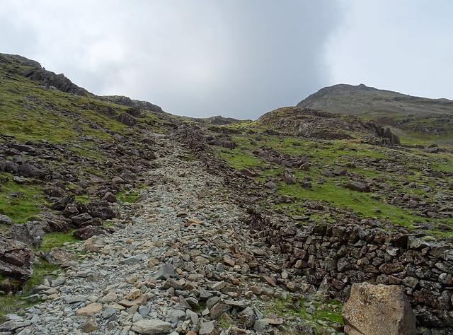
At the wall near High and Low Wax Knotts we took the steep direct path up to High Crag rather than continue to Scarth Gap and over Seat.
The steep stony path up by the wall
Although steep we quite enjoyed the route up, it wouldn't be a route I would want to descend mind.
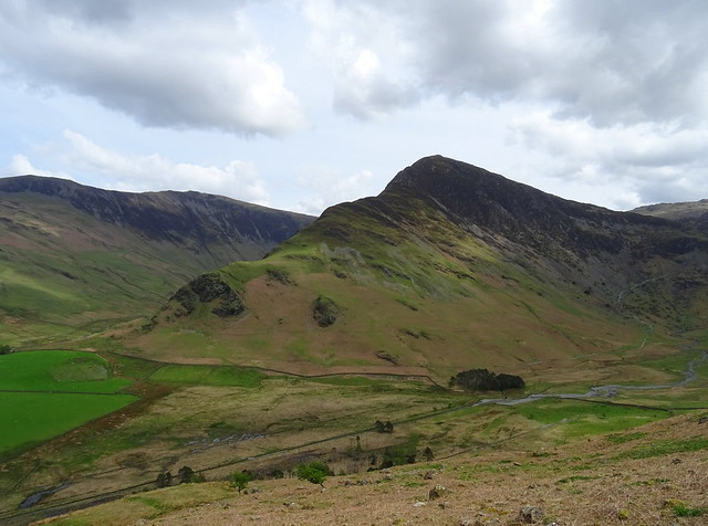
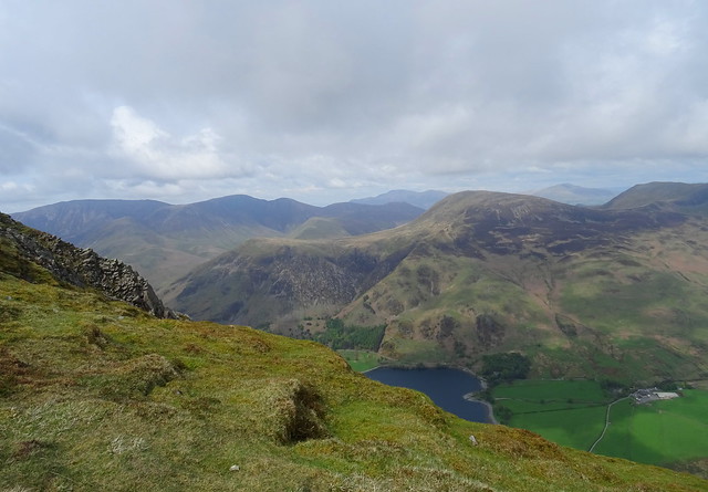
Seat and Haystacks from the foot of High Crag
We had a rest here before we started on the just as steep path up to High Crag. The cloud had built up to the west and the higher tops were covered.
Less cloud to the east, Robinson and the other NW fells in view
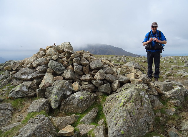
Beefy on High Crag summit
It had seemed never ending on the way up.
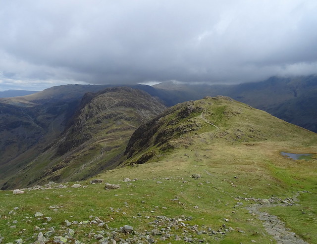
High Stile ahead
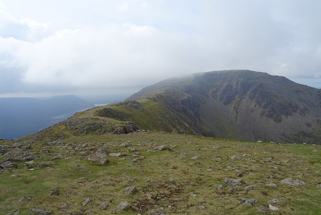
Cloud was threatening to cover it and we willed it to go away
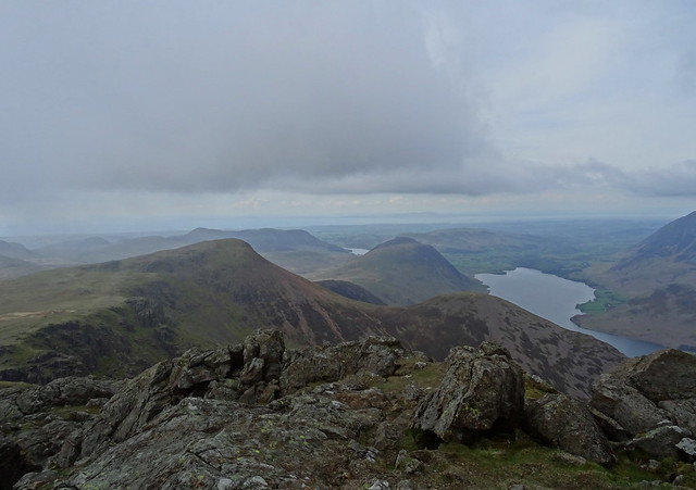
Bleaberry Tarn and Crummock Water from High Stile
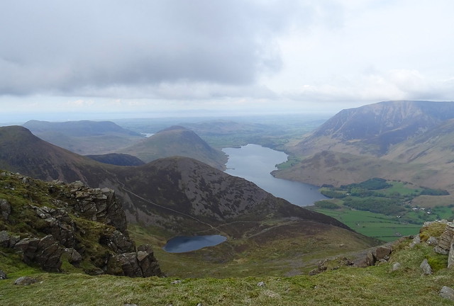
The cloud was kind and had indeed cleared for us
Over to Red Pike and Mellbreak
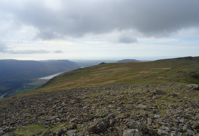
It was about 5pm by this time and we were getting really hungry. Starling Dodd seemed a very long way away. We looked over to White Pike. It looks flattish over there and we would get a good sunset view. There is a water source from a tarn on the way. Let's pitch there then and get some food asap.
White Pike from the descent of High Stile
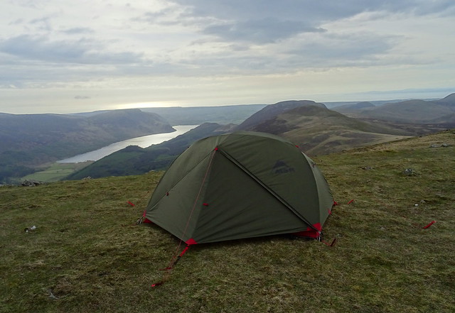
We found a flattish spot and got the water on to filter, then got the MSR up
The MSR near White Pike
We had our tea and we were pleased the cloud started to clear off the higher tops. The wind died down to almost nothing too and Beefy got Willo in the air.
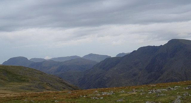
Great Gable, Scafells and Pillar now seen from White Pike
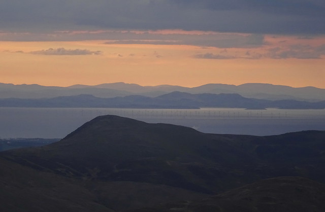
There were some nice views out across the Solway and the Scottish hills
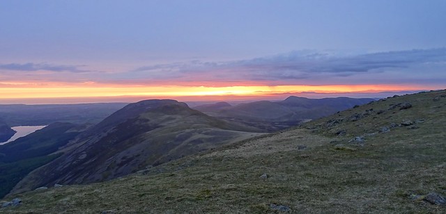
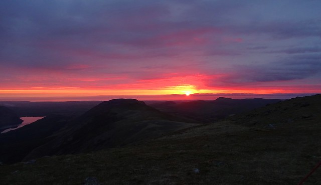
We had a cuppa then some wine and waited for the sunset. We weren't sure how good it would be, there was a lot of cloud about.
The sky starts to change colour
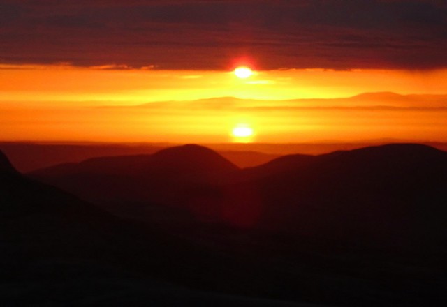
Then we saw the reflection of the sun in the sea
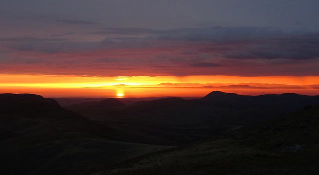
The ball of the sun dropped below the cloud
We hadn't expected this and it turned out to be a fab sunset
What a sunset it was
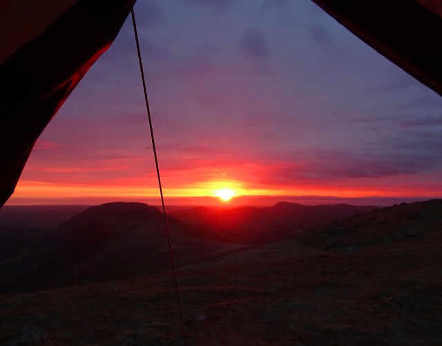
The sun dips below the horizon
We finished our wine very happy, what a great night this had been. Our route was Rannerdale Car park - Rannerdale Beck waterfall - Low Bank - Buttermere. Then Gatesgarth - High Crag - High Stile - White Pike 11.3km altogether with 1279m ascent. Day 2 to follow.


