I recently walked the Offa's Dyke path, this would be my 15th National Trail and it was one of my favourite ones. There was a bit of rain on the first 2 mornings and then nearly all of the last day but apart from that just a couple of showers meant ideal conditions, warm enough to be in tshirt and shorts at times but not hot enough to feel uncomfortable. The first couple of days seemed to have quite a bit of wet and muddy farmland and fields to go through (and the last) but after that, the scenery and the paths improved and it's certainly a walk I would do again. Below are some of the photos taken on the trail, the rest of my diary can be read at...
http://www.brians-walks.co.uk/offas-dyke-path.htmlDay 1 - Sedbury Cliffs (near Chepstow) to Monmouth - 19 miles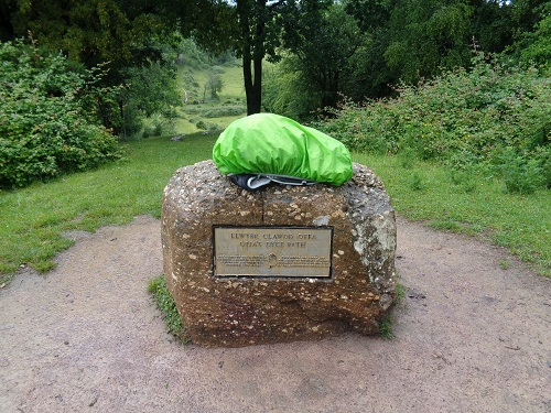
The start of Offa's Dyke Walk at Sedbury Hills on a wet day
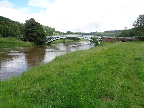
Just reaching the bridge at Bigsweir on the riverside path option
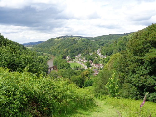
Looking down towards the River Wye and Redbrook

The Round House on the summit of the Kyrin above Monmouth
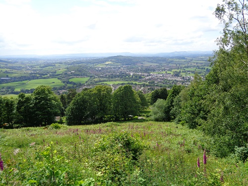
Looking down over Monmouth from the Round House
Day 2 - Monmouth to Pandy (near Abergavenny) - 17 miles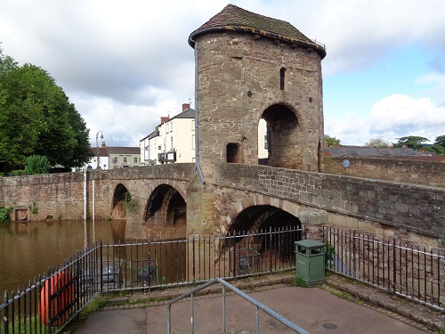
The gate tower on the fortified Monnow Bridge in Monmouth
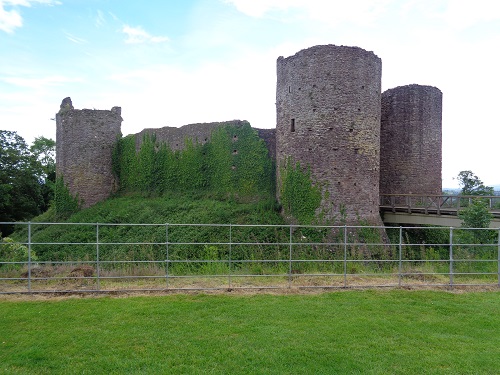
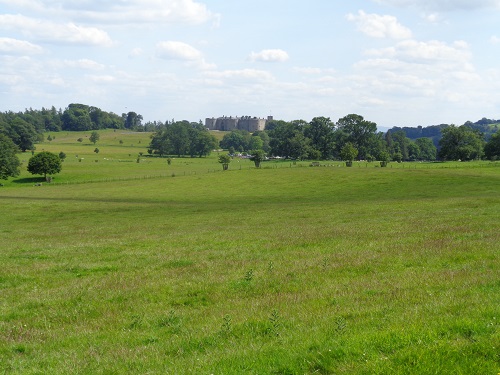
White Castle, near Llantilio Cressenny

Looking towards Skirrid Fawr from near Pandy
Day 3 - Pandy to Hay-On-Wye - 16 miles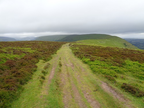
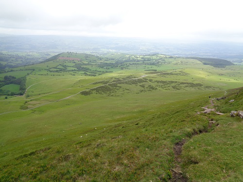
Part of the lovely 10 mile walk along the Hatterrall Ridge
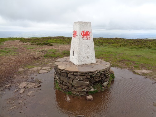
The Welsh Dragon on the Hay Bluff trig point
Part of the fantastic view from Hay Bluff
Day 4 - Hay-On-Wye to Kington - 15 miles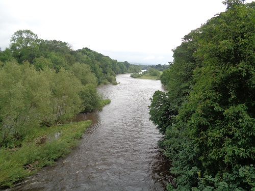
Crossing the River Wye as I leave Hay-On-Wye
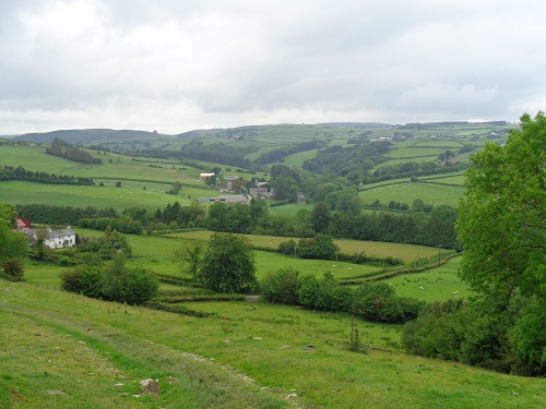
Heading down towards the Hamlet of Newchurch
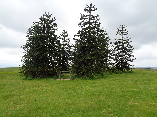
The clump of monkey trees on the Hergest Ridge
The war memorial in Kington Square
Day 5 - Kington to Knighton - 14 miles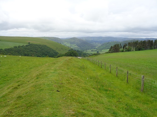
A stretch of Offa's Dyke looking towards the Holywell Valley
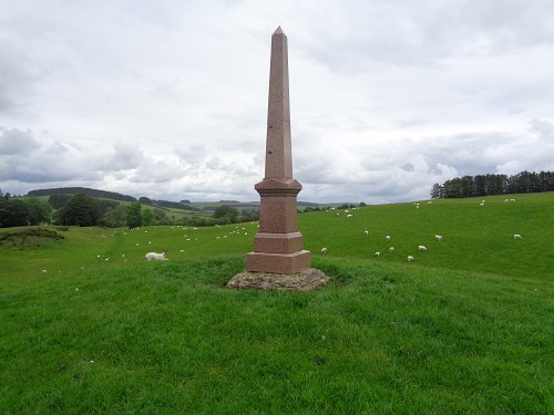
The Price Monument on Hawthorn Hill
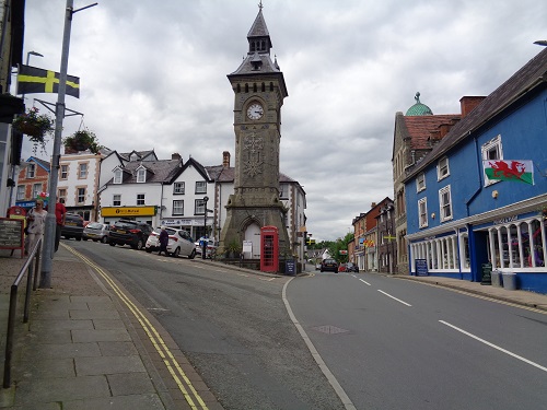
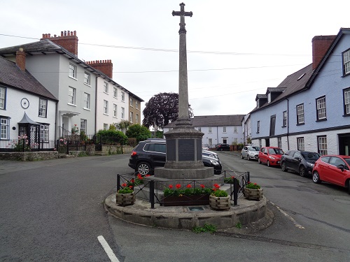
The clock tower in the centre of Knighton
Day 6 - Knighton to Montgomery - 20 miles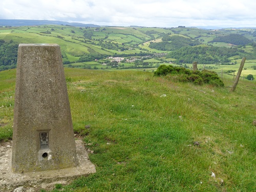
The trig point on Cwm Sanaham Hill looking towards Knucklas
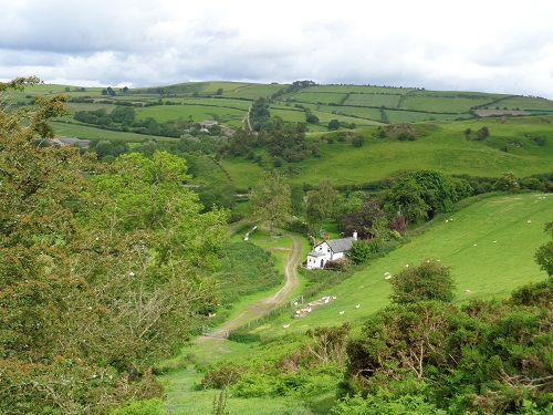
Brynorgan Cottage and the line of the Dyke on Llanfair Hill
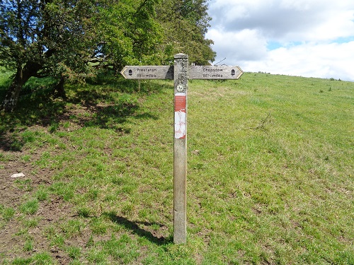
The halfway point of the Offa's Dyke Path walk
Looking down towards the Vale of Montgomery
Day 7 - Montgomery to Llanymynech - 21 miles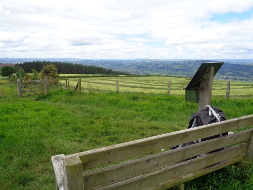
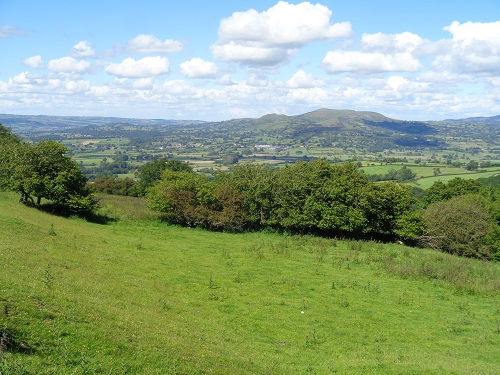
The view from the bench at the top of Beacon's Ring
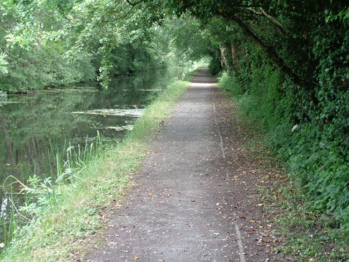
Walking along part of the Montgomery Canal near Pool Quay
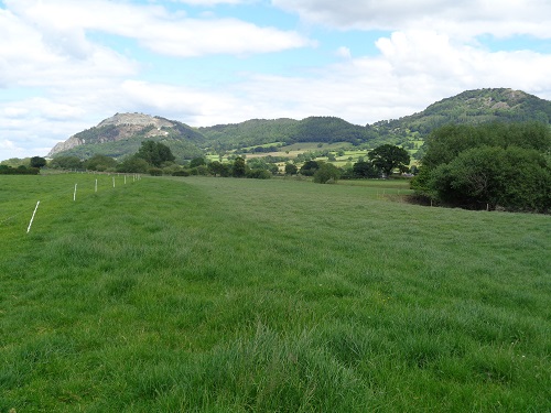
Looking towards the Breidden Hills as I walked beside the River Severn
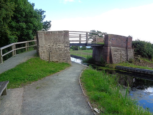
Parsons Bridge on the Montgomery Canal near Four Crosses
Day 8 - Llanymynech to Llangollen - 24 miles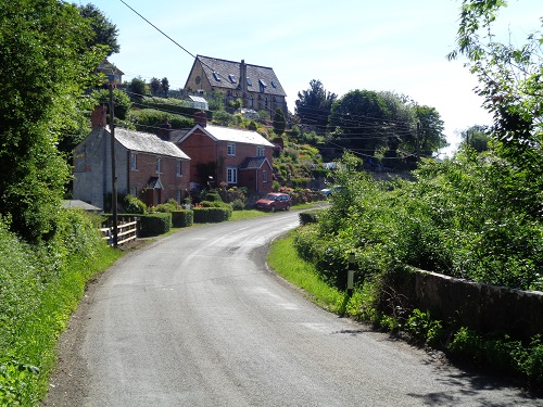
Walking through the lovely hamlet of Nantmawr
Looking over at Chirk Castle, just off the trail
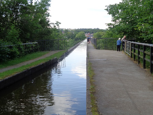
About to walk over the very high and exposed Pontcysyllte Aqueduct
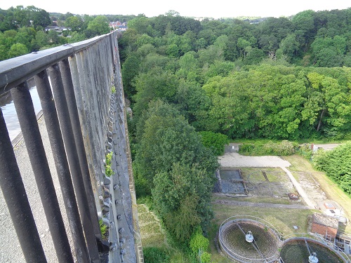
It's a long way down from the Pontcysyllte Aqueduct
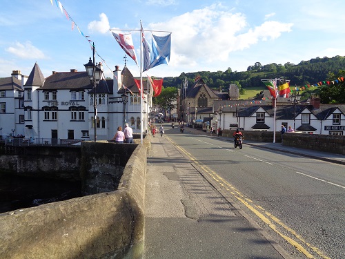
Crossing the bridge over the River Dee into Llangollen
Day 9 - Llangollen to Llanarmon - 15 miles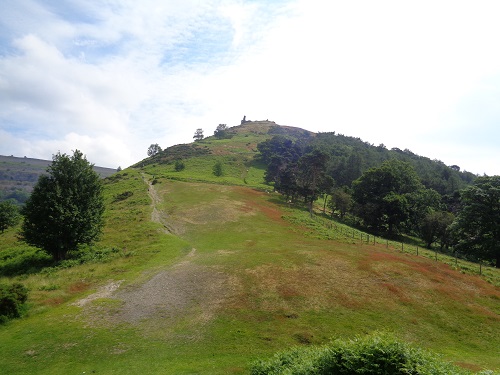
Heading up the steep path towards Castle Dinas Bran from Llangollen
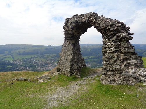
Looking down towards Llangollen through the ruins of Castle Dinas Bran
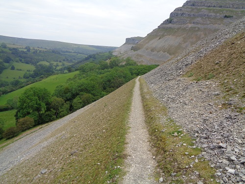
The fantastic level scree walk heading towards Craig Yr Adar
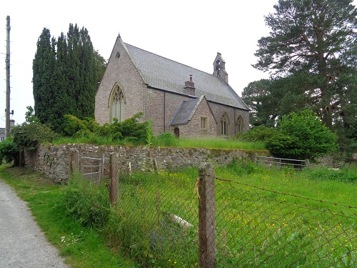
The St. Tecla Church of Wales in llandegla
Day 10 - Llanarmon to Bodfari - 18 miles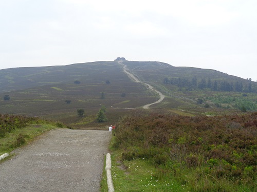
Heading towards the Jubilee Tower on top of Moel Famau

The Jubilee Tower on top of Moel Famau
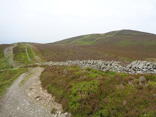
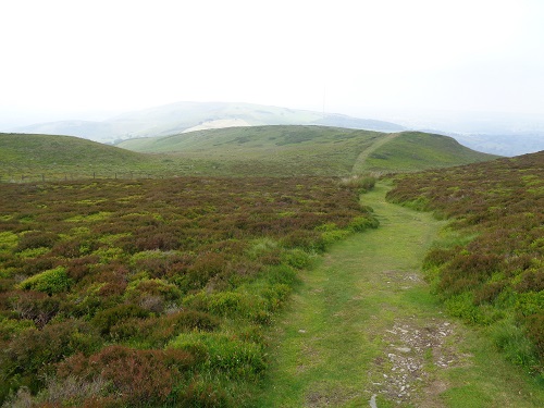
Part of the ridge walk after Moel Famau
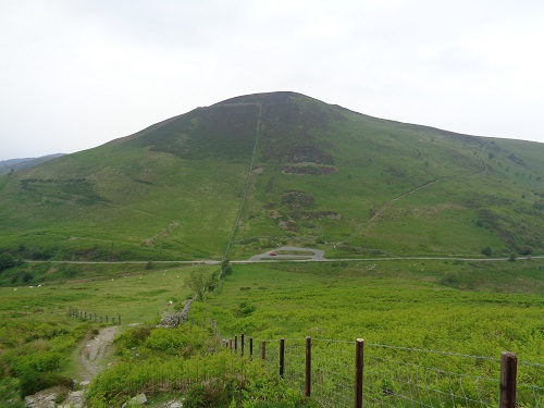
Heading down to start the climb up Moel Arthur
Heading down lovely paths towards Bodfari
Day 11 (Final Day) - Bodfari to Prestatyn - 12 miles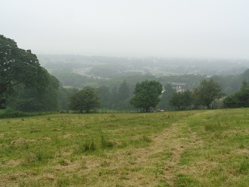
Heading down towards the busy A55 road on the gloomy last day
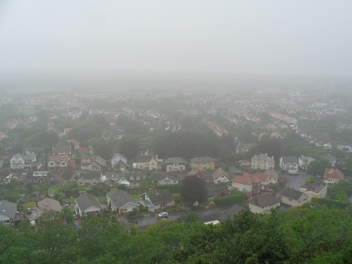
Looking down into the start of Prestatyn, no sign of the sea.
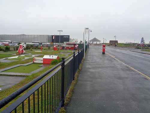
Nearing the end of the Offa's Dyke Path at Prestatyn seafront
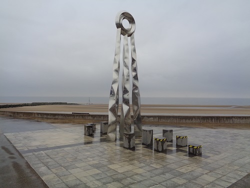
The sculpture at the end of Offa's Dyke Path in Prestatyn
http://www.brians-walks.co.uk/offas-dyke-path.html


