It's been some time since I posted a trip report, so I thought I would make amends and post the details of this walk that I did yesterday. It was a really good walk as the landscape is a mixture of open moorland, hay meadows and woodland. I started the walk from Bennett's Cross, which is situated beside the main road between Two Bridges and Mortonhampstead.
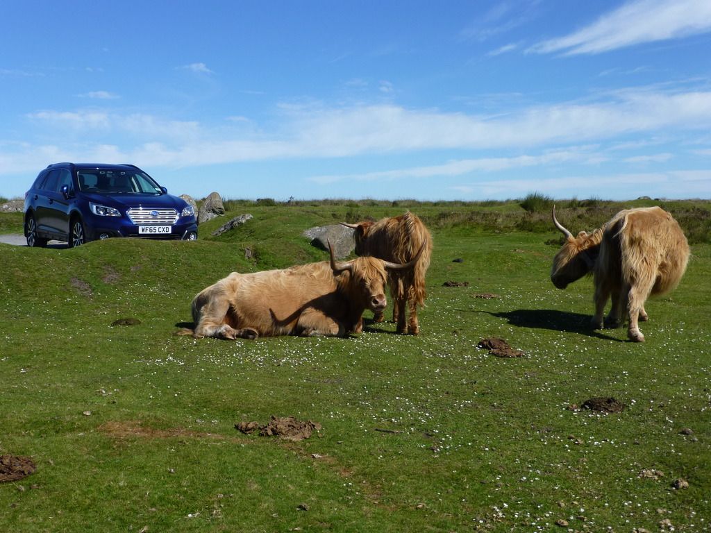
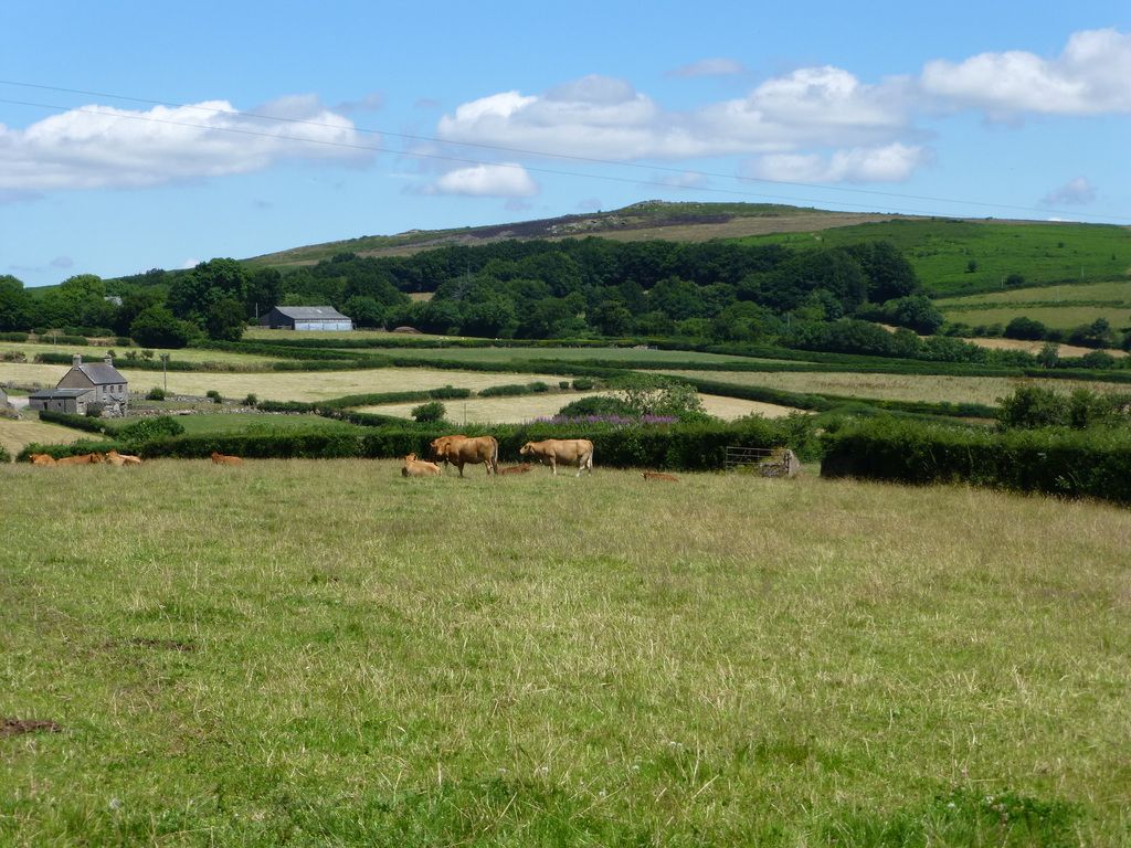
I parked in the small car park close to the cross and left these Highland cattle guarding the car.
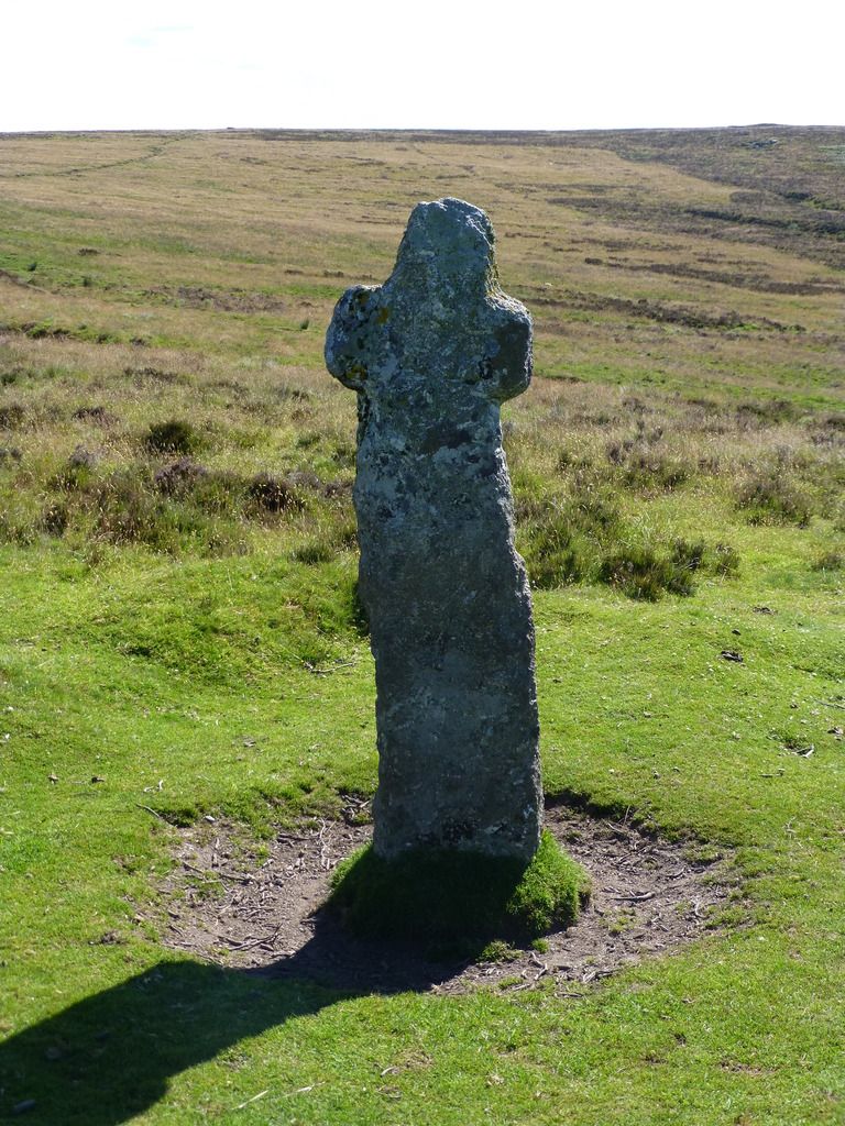
Bennett's Cross is one of the old crosses that were set up by the monks to guide them across the moor. The name "Bennett's" is probably a corruption of "Benedictine".
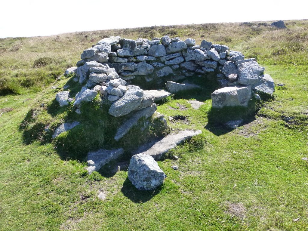
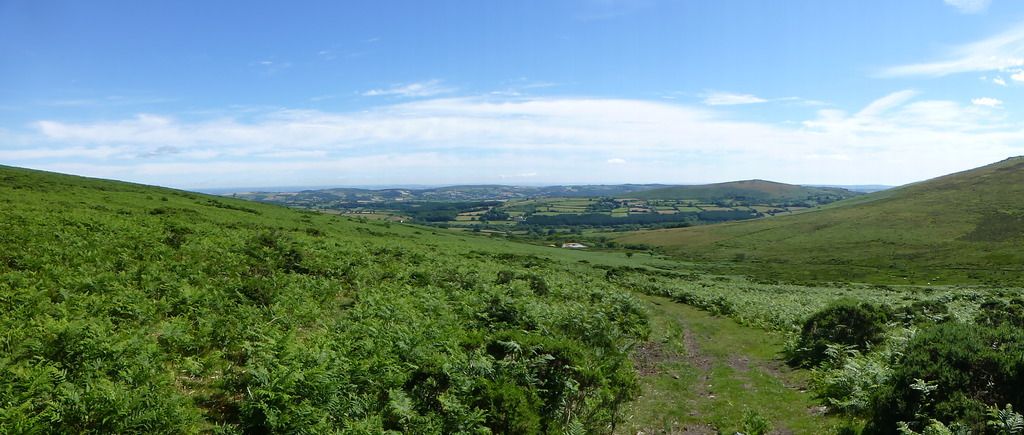
From the cross I headed in an easterly direction following the Two Moors Way to ascend the northern slope of Birch Tor. Close to the summit is this shelter. I don't know if it is ancient or if it was constructed in recent times.
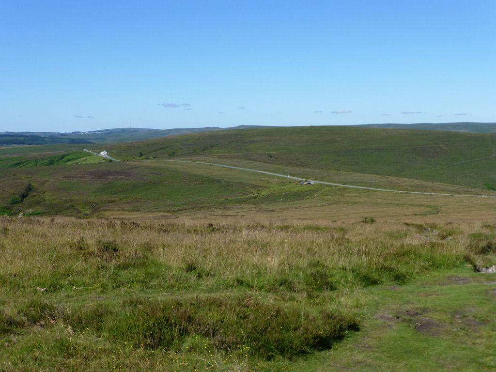
This is the view looking back down to the car park. The white building in the distance is the Warren House Inn. Beyond that almost on the horizon is Princetown.
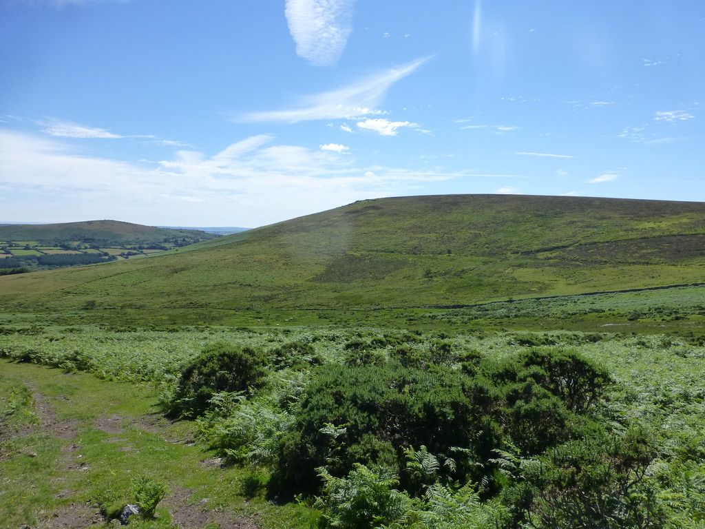
Continuing down on the other side of the tor there is a good view of the distant countryside. The small white patch in the centre of this photo is a former reservoir that was used in connection with nearby tin mining.
Looking to the south-east is Hookney Down and King Tor.
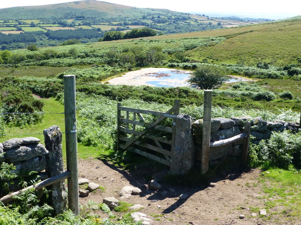
Continuing downhill, I arrived at the reservoir.
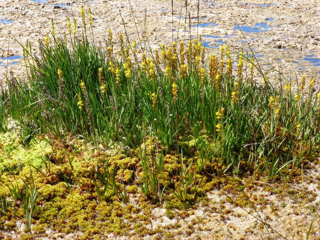
A nice clump of Bog Asphodel on a mound in the reservoir.
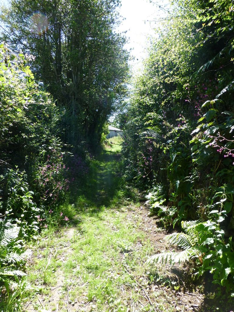
I soon arrived at West Coombe Farm, where with some hesitation I went through the yard in front of the house. The map indicated that the footpath went this way, but there were no signs that I could see. After the farm the path continues between high hedges.
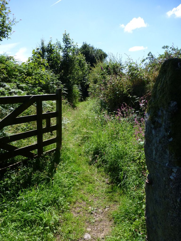
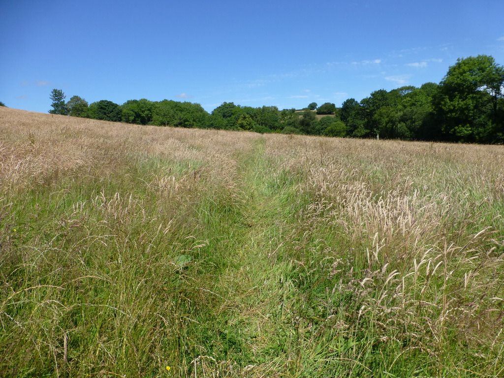
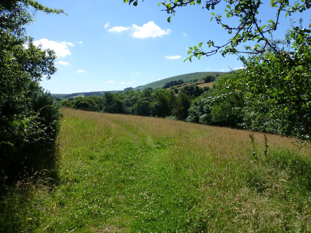
Further on the path crosses the main road and enters several hay meadows. In one of the meadows the grass was being cut by a tractor & mower. On reaching the tractor I was surprised to see that it was being driven by an attractive young girl with a ponytail, wearing a bikini top.

Of course, I averted my eyes.

I resisted the temptation to take a photograph so you will have to make do with these.
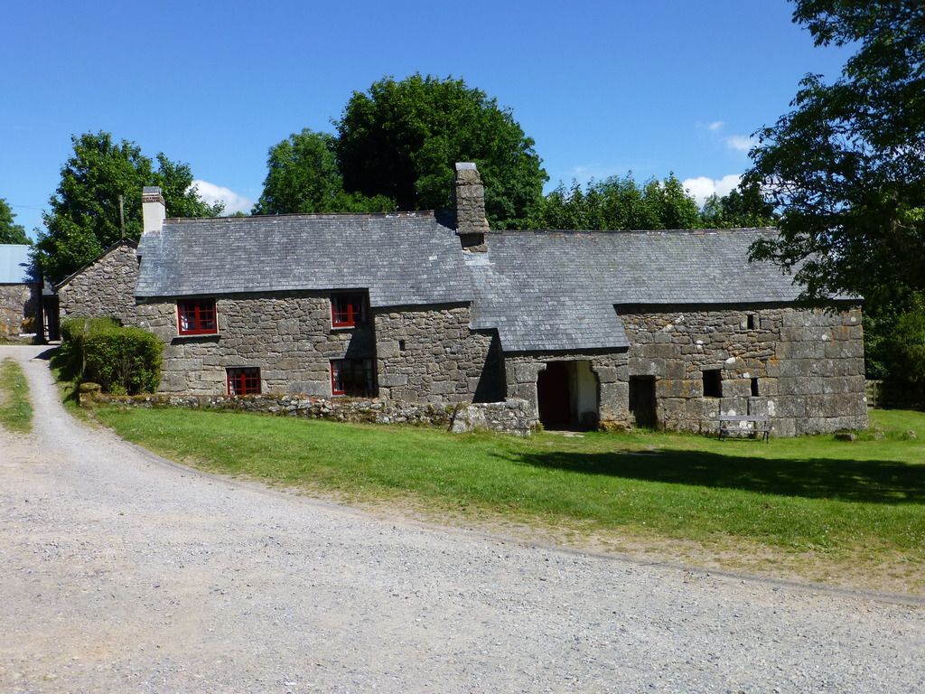
Shortly after, I walked into the isolated hamlet of Lettaford, where there is an excellent example of a medieval Dartmoor longhouse. These houses were built with an entrance leading into a central corridor that was used by both the residents and their cattle. The residents went in and turned left into the house and the cattle went in and turned right into the barn. It's a shame that the roof on this one is no longer thatched.
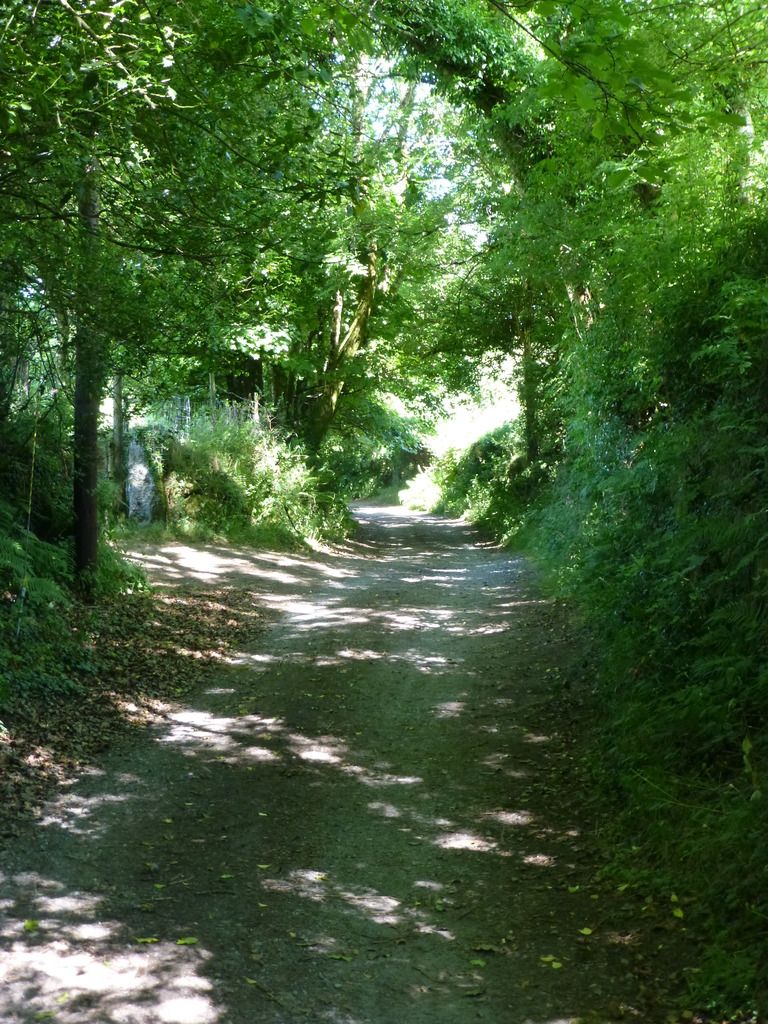
From Lettford the path continues down this lane, which is marked on the map as an ancient trackway.
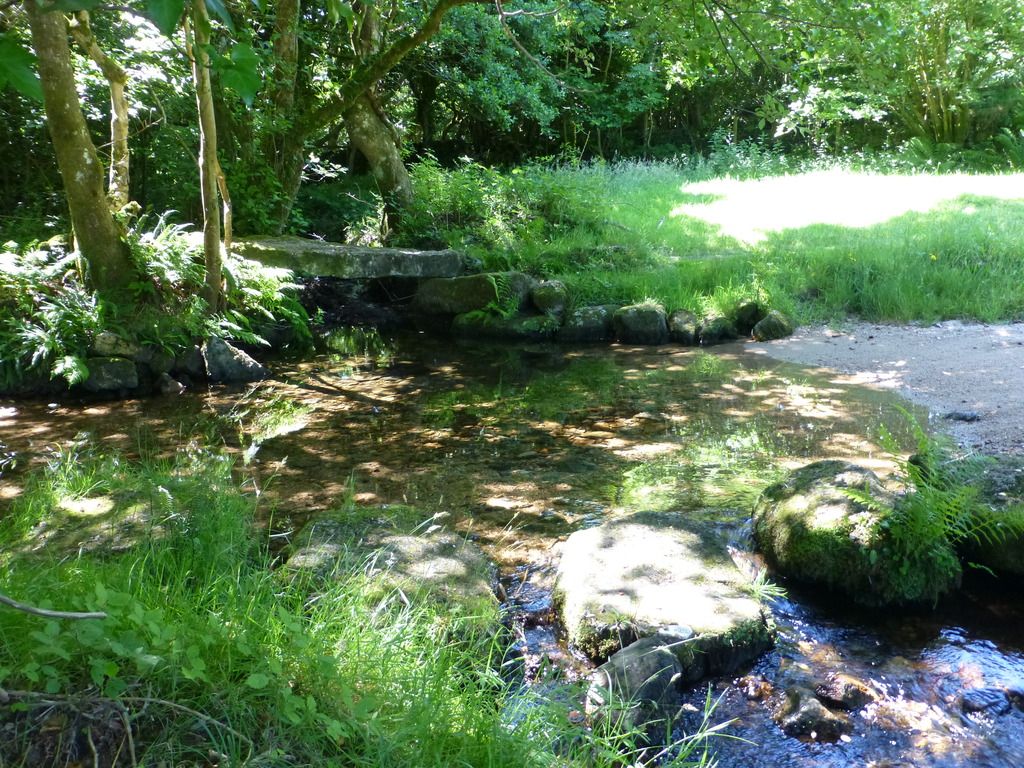
At the end of this lane there is a ford and clapper bridge over the River Bovey, which was an excellent place to stop and have lunch. I sat there for some time watching small trout jumping for flies.
Suitably refreshed I continued through the hamlet of Jurston, then on past a number of farms where finding the correct path was not always easy. In fact I went wrong once and had to retrace my steps.
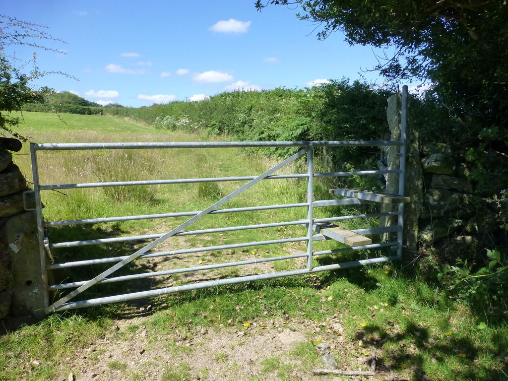
I came across this unusual stile that was fixed to the gate.
This is the view looking north towards Meldon Hill.
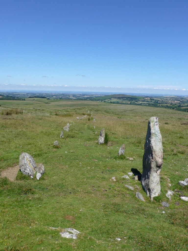
I then arrived at the road that leads to Fernworthy Reservoir and continued on this road for a while, turning off onto open moorland before reaching the reservoir, and heading south to Hurston Ridge where there is a good example of a Bronze Age double stone row.
From the stone row it was just a short walk back to the car, which was still being guarded by the Highland cattle.
The total length of the walk was just over 8 miles. I prefer longer walks on Dartmoor, but it was extremely hot yesterday and although I quite enjoy the heat I find that the length of my walks is limited by the amount of water that I am physically able to carry.


