Part 1 ended at Rhosydd Stables 9but only cos I ran out of time) I spent some minutes there talking to two of the guys who have been responsible for the conservation work carried out - all by public donation.
Walking up the track to Rhosydd a vista of the valley is obtained.
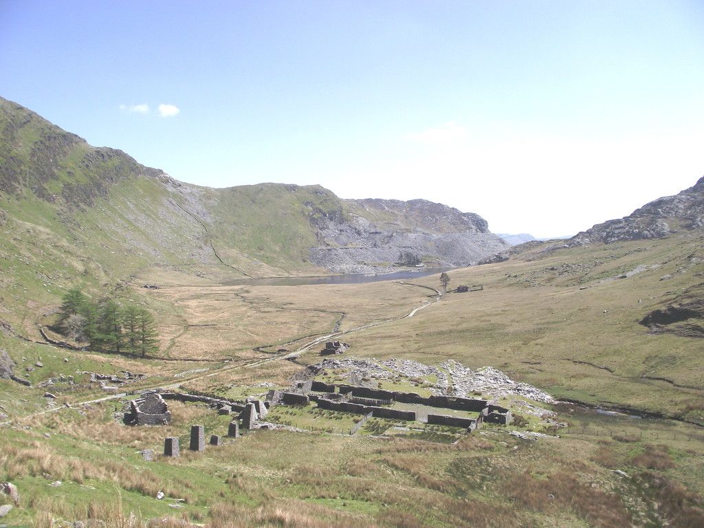
Rhosydd Stables and the Conglog mill are in the foreground. The stone pillars supported a wire hoist which brought slate down from the quarry adit which is under the trackway I'm on. The quarry manager's house is in the trees to the left wilst the ruins of Cwmorthin Uchaf farm are distant left. I felt some sympathy for the quarrymen of old who had to climb this track every day whist the manager rode up on his company horse.
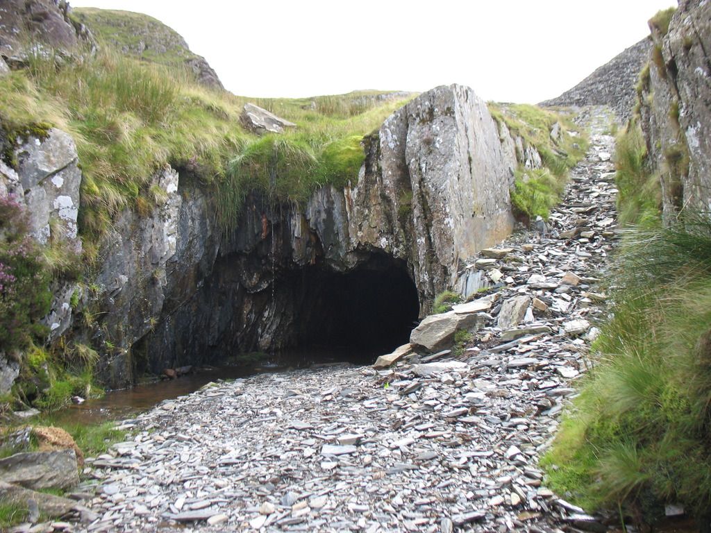
At the top of the track is the pit of the waterwheel and turbine house which powered the quarry,
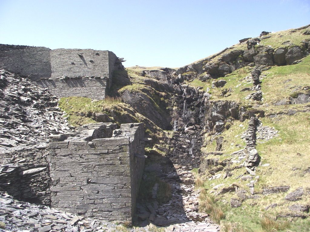
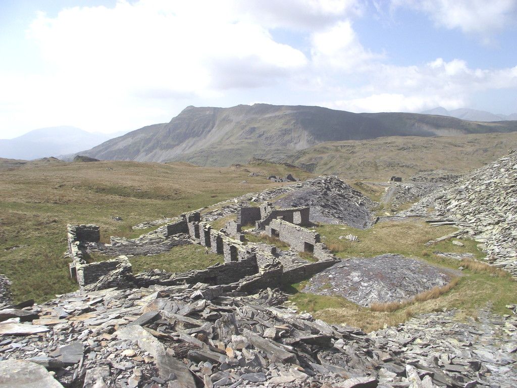
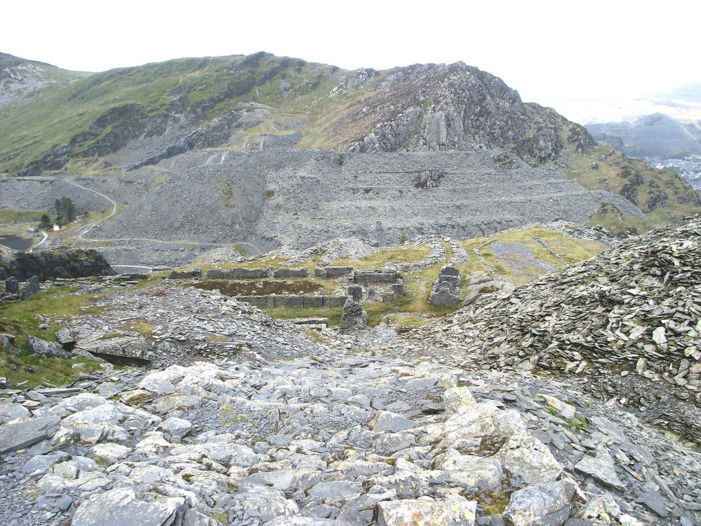
A little further on is the general working area of the quarry, the mill, dressing sheds etc all now in a state of terminal decline
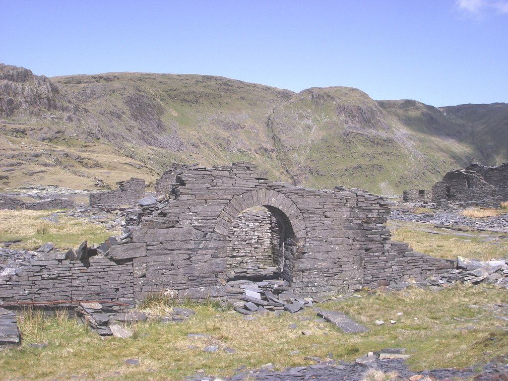
The ornamental archway which formed the entrance to the mill survives - but for how much longer?
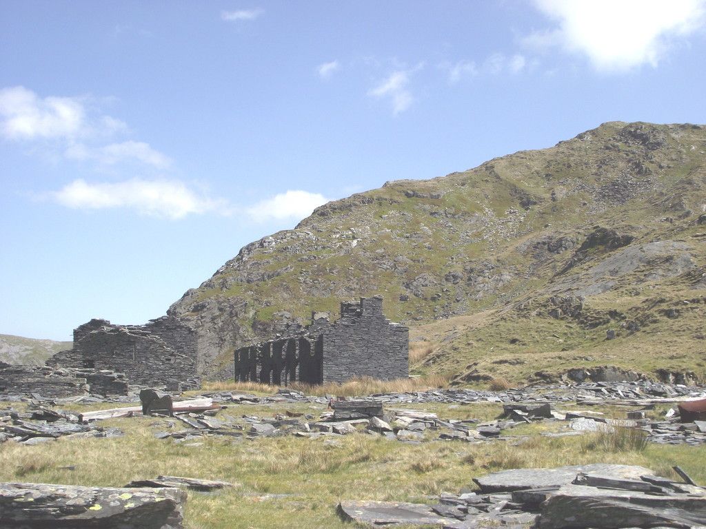
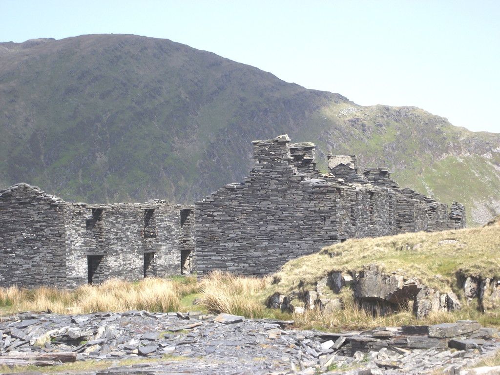
The barracks still stand. Not surprising as they were built to withstand the gales up here..
p
Having eaten my sarnies it was time to press on. My route took me up a disused incline to the right of the main quarry adit.
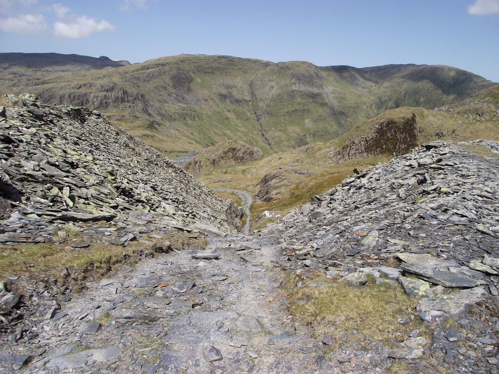
And after that comes another incline when a breather allows a look back down.
Still heading upwards I passed more quarry buildings with the unmistakable summit of Cnicht prominent across Cwm Croesor
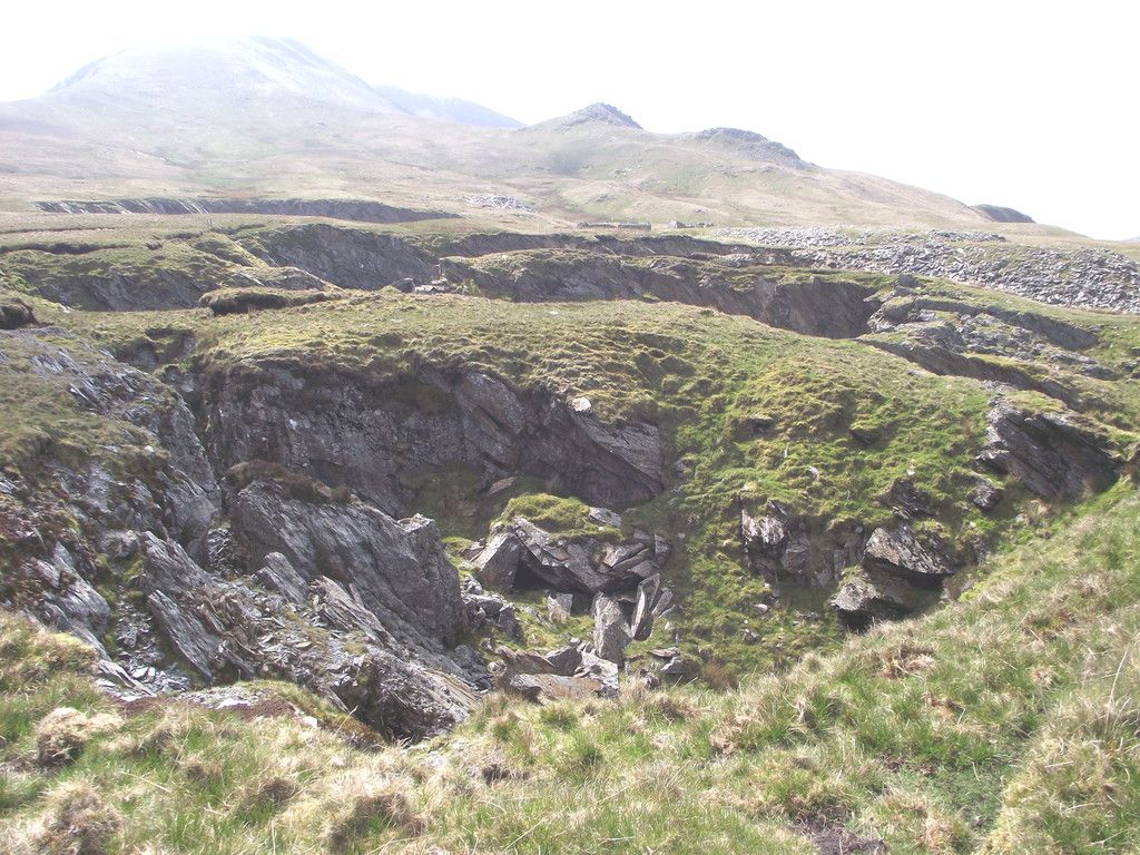
The pah now passes close to two collapsed chambers of the quarry, so large that they are shown on the OS map. The moral of the tale is that if you rob too much slate from the supporting pillars of a chamber you must expect the roof to fall in! Moelwyn Mawr is in the background but not on today;s itinerary.
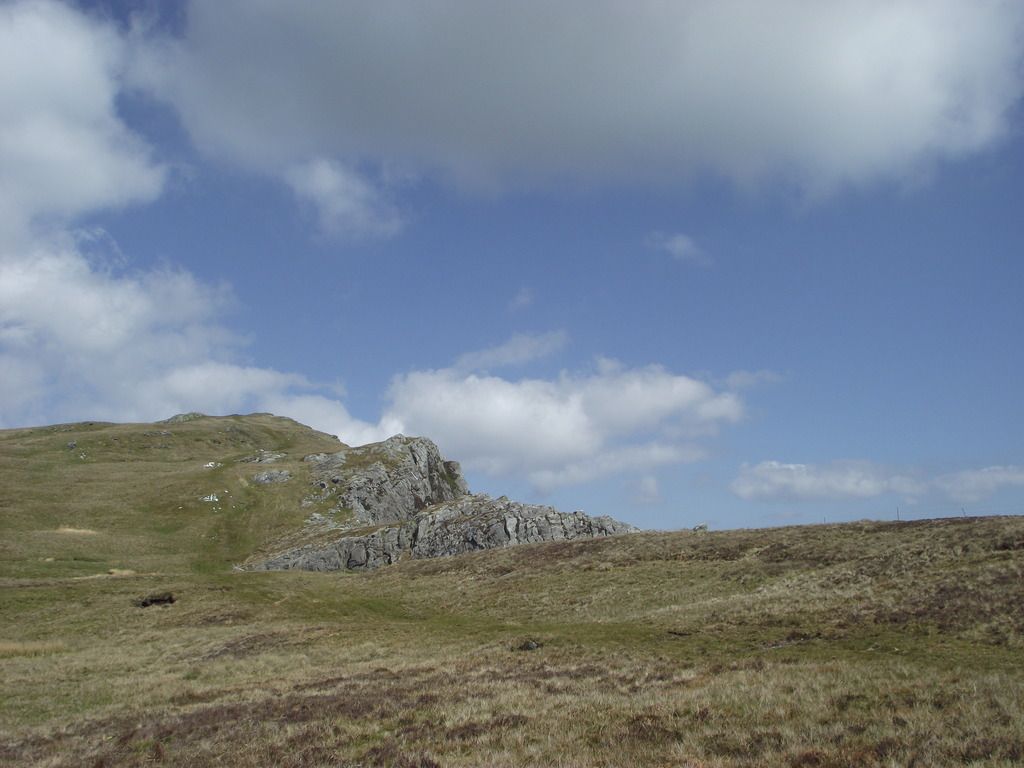
Moel yr Hydd is now visible to the east
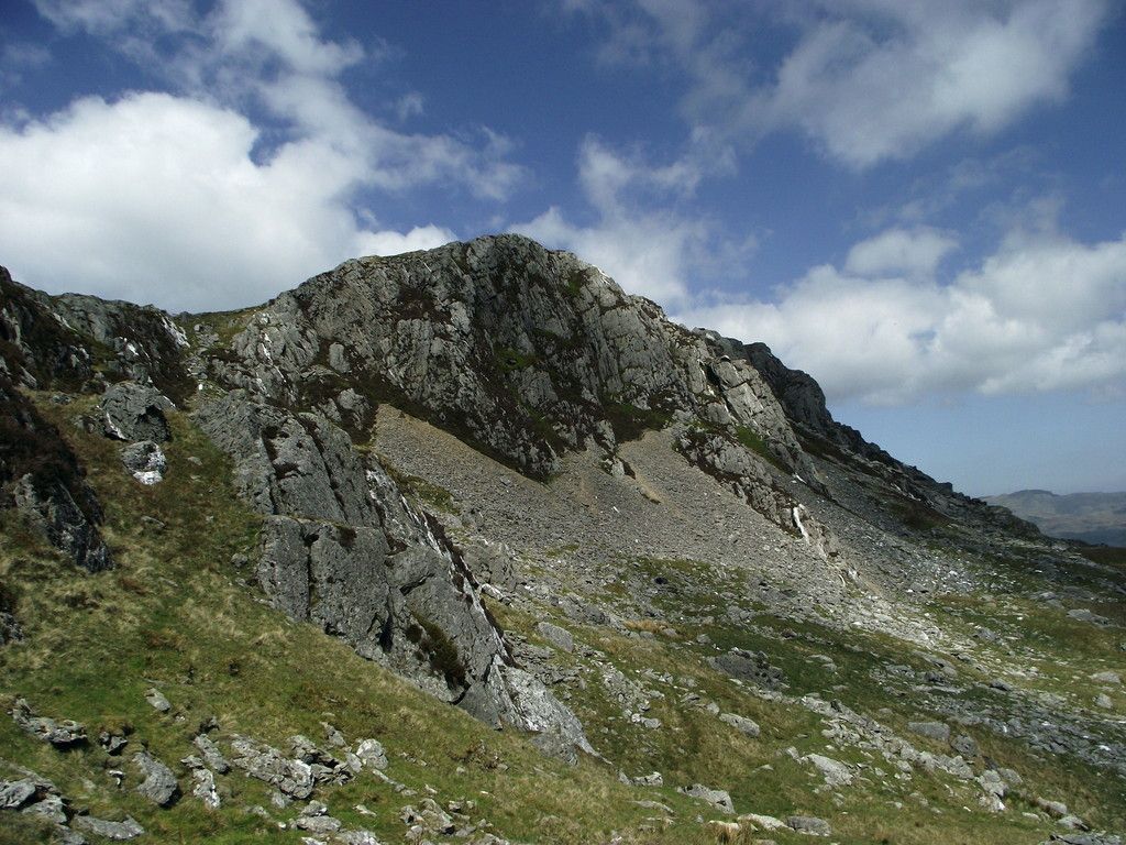
Crossing through an electric fence I turned east passing below the south face of Moel yr Hydd.
And this is where it all went wrong. I was looking for a path to take me down to the Stwlan Dam road. It's marked on the OS map but I somehow missed it and continued chugging north east. As I passed Llyn Wrysgan I realised my error but thought that there would be a way down to Tanygrisiau. Sort of. I reached the top of a quarry incline.
If you look at the left you will see the white cottage at the lakeside (part 1) which defines my position some 400ft+ above Cwmorthin
Now I didn't like the look of this incline at all. 150ft drop at a 45 degree angle. Worse the surface was stepped with worn stone setts giving a 6 inch tread and riser, In short I couldn't get a full foot placement on any of the steps if I attempted to walk down normally. Compounding the problem was loose small stones on the steps.Decisions; do I back track or try it. I decided to give it a go by walking sideways with the walking pole leading as an outrigger. Very mindful that one trip or slip could result in a Cresta Run. So I extended the walking pole and ensured all joints were tight. I also ensured that my sphincter muscle was tight and set off. I made it, only to find that I had another incline to contend with; twice as long but not quite as steep Same sideways technique.. Eventually I reached levelish ground, forded the Nant Cwmorthin and reached my original entry track.
I flopped down on a rock. I gave up cigs in January but I had emergency smokes and a lighter in the rucksack. Could I light it? Hands shaking. I've done Crib Goch without any nervous reaction but those inclines gave me a fright. Ah well, still alive, back to the car and get a stiff drink once I'm home.
An enjoyable day. Well, sort of if you know what I mean!


