We packed our gear away pleased there was a bit of a wind to keep the midges at bay. First stop was the summit of Craiglee and it took ages to get there, all ups and downs and zig zagging through crags and bogs.
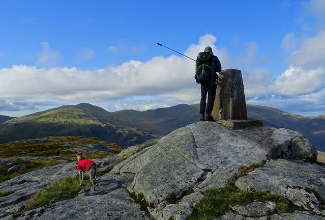
On Craiglee summit
Merrick and Craignaw from Craiglee

Loch Trool from Craiglee

We retraced our steps north westward to get off the summit although we had seen a trod leading south off the summit. We wanted to see Sound Clint, a rock face that climbers come to climb and we thought there may be a trod or two leading to the Southern Upland Way that we were using to get back to Loch Trool and the car.
Benyellary and Merrick from the slopes of Craiglee

Sound Clint

We didn't see a trod at first, the ground had been churned up by hoof prints that we thought must have been from the goats. The terrain was even worse here than the two days previous. Very long grass, very uneven ground made worse by big holes ready to break an ankle and every step was a cautious one. We were both cursing after half an hour, every time we almost fell over or slipped.
A cow and calf on the descent

Right not goat hooves, cow hooves! The trod we'd followed here and there, not that it was great, was leading to this cow and we weren't sure how many there might be so we left the trod and headed right, away from the cow, always cautious when we have Squeaky with us where cows are concerned.
On the way through the very rough terrain

I can only describe this route as pure torture. I'd seen a few others had done this hill online so I didn't think it would be quite this bad underfoot.
A look back at Craiglee

We spotted a trod ahead that was coming from the Round Loch of Glenhead. We made for that and followed it for a while before that petered out. We then spotted a quad bike track and we used this for easier progress. We were getting closer to the Southern Upland Way now. We spotted cows to the right of us as we reached another track. Now this was the old route the Southern Upland Way used to take, to and from Glenhead, we wanted the new route further south. It meant more pathless walking through more rough terrain.
The last sting in the tail before we reached the track on the Southern Upland Way

This was typical of most of the route, the long grass hiding holes and uneven ground. A check online back home and a few of the reports of people doing this hill were in spring or winter when the grass would be much shorter so perhaps not quite as horrendous.
A look back at our route from Craiglee

Now on the banned list, of course

On the way back to Loch Trool

What bliss to walk on a track, easy walking! We stopped for some lunch when we reached a water source for a brew and had a well earned rest. It had taken 3 hours to walk 3km

Waterfalls on Sheil Burn

On the Southern Upland Way

This was a lovely way to finish the weekend, easy walking with very nice scenery.
Looking back along the Southern Upland Way

Falls on the Gairland Burn

Day 3 was Pitch on Craiglee - Craiglee summit - Sound Clint - Southern Upland Way - Glenhead - Buchan Bridge - car park. 5.1 miles and 152m ascent and 546m descent. All of the walks had felt like triple the distance due the tough terrain. It will be an easier walk this weekend! Midge bite count - Beefy - 0, me - 15

Day 3 route map


