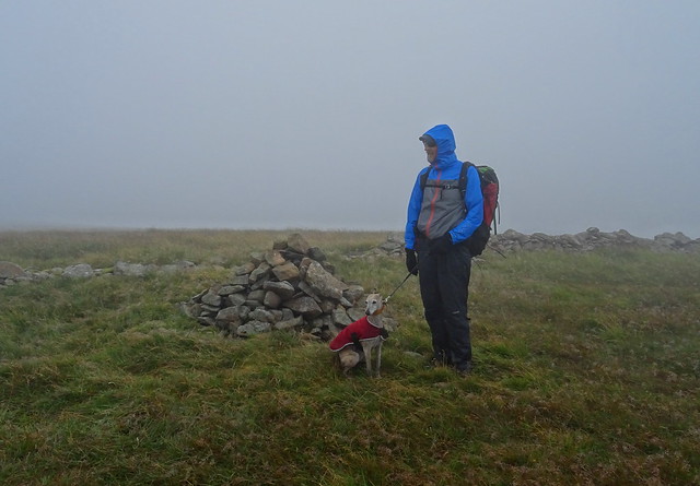
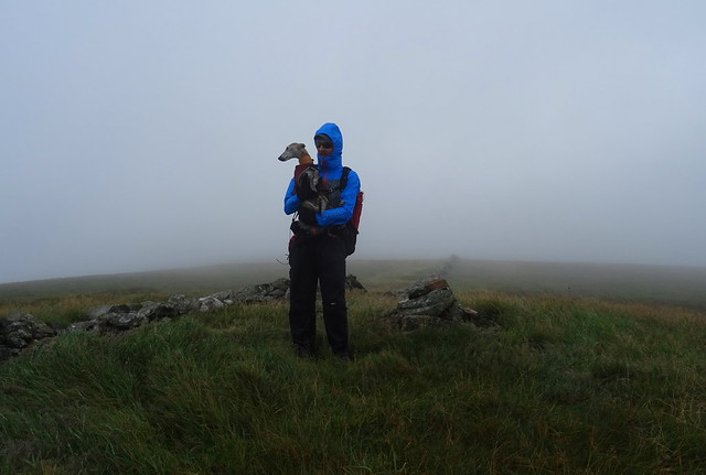
We drove further north in The Borders than we have so far, past Talla Reservoir and we parked near Talla Linnfoots. There was a lot of low cloud on the way and there was cloud about on the hills we were going to do. As we were getting our boots on a car stopped near us and a man with a Scottish accent asked me if he was on the right road to go up Broad Law. I said he was and said he could park near the cattle grid at the Megget Stone a little further up the road. We did have a bit of an ironic giggle about it. First time at Talla Reservoir and I a non Scot was able to give details for a hill and start point for a walk I've never done before or even heard of until a few days previously.
Talla Linnfoots

To start we were walking up by Gameshope Burn and it was a gentle ascent on a good track

The wind was quite strong and cool when we started off.
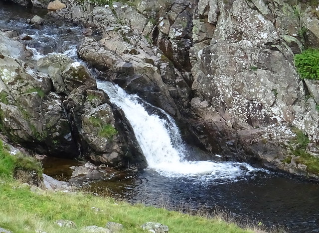
The burn was lovely with lots of waterfalls on the way up
Looking back toward Talla Linnfoots and the mist

Gameshope Bothy

The low cloud had started to lift off the tops and we were heating up. There was very little wind now and the sun was now beating down.
Looking back at the bothy

There was still a bit of mist lingering near Talla Reservoir. The track that lead up to the bothy was now a rough and boggy at times trod. The temperature increased and we felt like we were in an oven.
More nice falls on Gameshope Burn

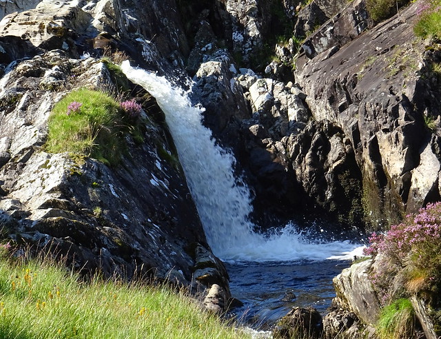
Gameshope Burn again

We stopped for a break near Donald's Cleuch Burn and we saw 2 figures working up on the hillside of Speir Gairs. We thought they might have been planting trees or doing fence work up there. They were using an all terrain vehicle of some sort.
Lunch over we walked through the nicely named Crunklie Moss until we came to a fence at the foot of Great Hill. We filtered some water from the burn and filled our bottles up. The ascent looked steep. The heat and rough ground so far had tired us a little and we weren't looking forward to the climb in the heat.
Looking back from the ascent of Great Hill

The hill in view is Din Law and we pitched there a few years ago when we did a 3 nighter from Moffat.
Gameshope Loch in view from the way up Great Hill

We had to keep stopping to get our breath, crikey it was hard work up climbing up here in the heat and carrying our camping gear.
Almost on the top of Great Hill

There was a bit of a breeze now so that helped a lot.
The view over Garelet Dod from Great Hill

Saddle Yoke from Great Hill

Our next top was Donald's Cleuch Head
White Coomb from Donald's Cleuch Head

We had a banana break here and we saw some walkers in the distance on White Coomb, the first people we'd seen during our walk apart from the workmen high on the hill earlier.
Toward Great Hill from Firthhope Rig

After our break we'd summited Firthhope Rig and we thought it looked a good place to pitch. The grass was very smooth and flat. We headed toward White Coomb first though we would bag that then find water for our camp and return to Firthhope Rig
Cloudberry

There were a few of these on the way up White Coomb
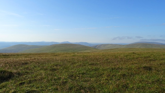
The Ettrick Hills from White Coomb

We spoke to 2 lovely ladies from Glasgow on the summit, the first people we'd been close enough to speak to in 6 and a half hours. We said we loved the quiet hills here and they mentioned they'd come up from The Grey Mare's Tail side and that was a different story with lots of people about.
View over Firthybrig Head to Culter Fell and Broad Law

Lochcraig Head from White Coomb

We dropped north eastward from White Coomb to look at the view and made our way along the fenceline back to Firthhope Rig. We spotted a tarn where we got some water for our camp. I'd seen a photo of a tarn on White Coomb but I'd no idea where it was because it isn't marked on the map. It was a bit of luck finding it because we thought we might have to drop down a bit to get water from the head of Donald's Cleuch
Back on Firthhope Rig we found a grand spot and got the MSR pitched

It is 800m this hill so quite a high up pitch.
The Ettrick Hills from Firthhope Rig

White Coomb from Firthhope Rig

View toward Culter Fell from Firthhope Rig
Very hazy view from Firthhope Rig

We had our tea sitting outside on our chairs. It was breezy but that meant no midges which had been a slight nuisance in the valley earlier. To our dismay at about 7.15pm the cloud that had covered the tops to the east started encroaching on Lochcraig Head and then Firthybrig Head. It wasn't long before we were also in it. No sunset for us! Never mind we'd had a great day and we hoped the cloud would be gone in the morning.
We awoke next morning and we were still in the clag. We packed up and retraced our steps to Donald's Cleuch Head and then made our way to Firthybrig Head.
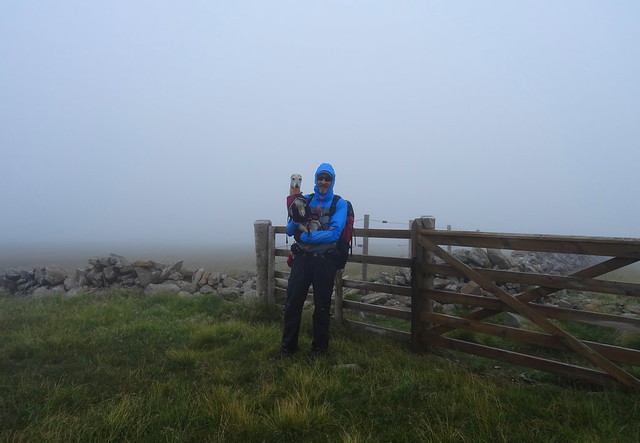
No views to be had!
It was simple navigation following the wall to our next top Moll's Cleuch Dod.
Still no view
On Carlavin Hill summit
No view on this hill either! We left the wall and took a pathless route north eastward to descend near Gates Cleuch. The ground was very rough, boggy and hard going at times but this route looked the easiest route off the hill during the planning of the walk.
There were lots of these flowers about and a google says they are Grass of Parnassus, they are very pretty.

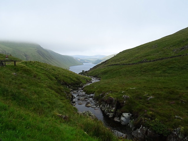
Talla Reservoir

At last we could see something! We could also see the track that would lead us back to the road and down to the car at Talla Linnfoots.
Looking up at Gates Cleuch

We'd descended to the right of the cleuch.
Talla Reservoir from the bridge over Talla Water
We walked a little way back up Gameshope Burn to sit and eat some lunch out of the wind before walking back to the car. Of course the cloud was now lifting off the tops but when we were driving back past Moffat we could see cloud was still covering the hills we'd been on so hanging around in the tent for an hour or two wouldn't have made any difference.
Day 1 was Talla Linnfoots - Gameshope Burn - Great Hill - Donald's Cleuch Head - Firthhope Rig - White Coomb - Firthhope Rig. 5.97 miles and 649m ascent. It felt much longer than 6 miles, the ground is much harder to walk on in Scotland, it is very rough at times.

Day 2 was Firthhope Rig - Donald's Cleuch Head to Firthybrig Head - Moll's Cleuch Dod - Carlavin Hill - Gates Cleuch - Talla Water - Talla Linnfoots. 4.74 miles and 108m ascent. Again it felt like more, the walking was even more rough on day 2.


